
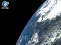
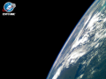
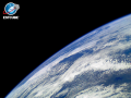
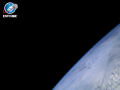
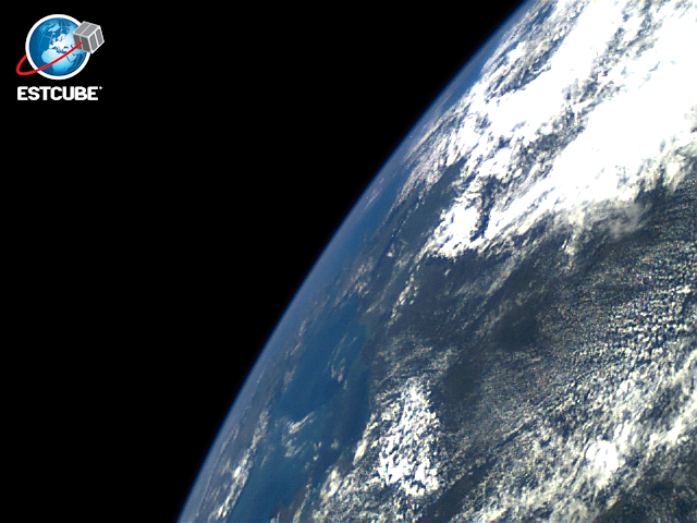
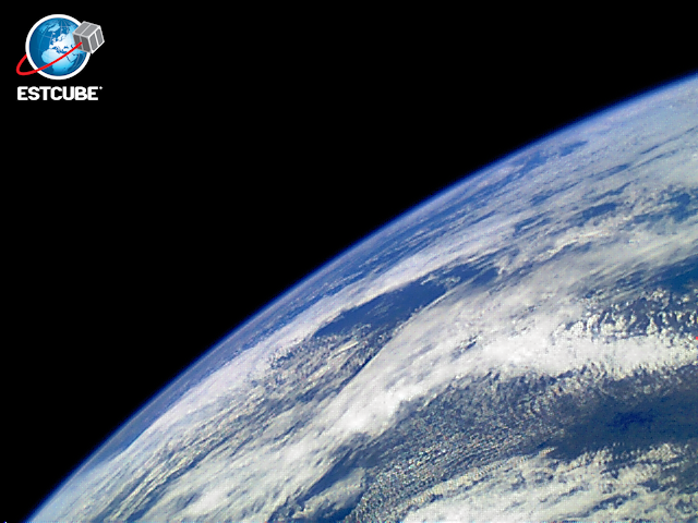
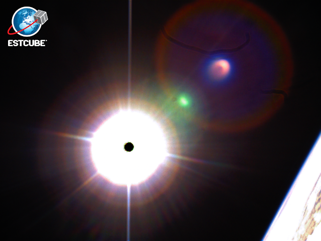
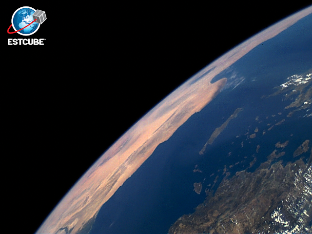
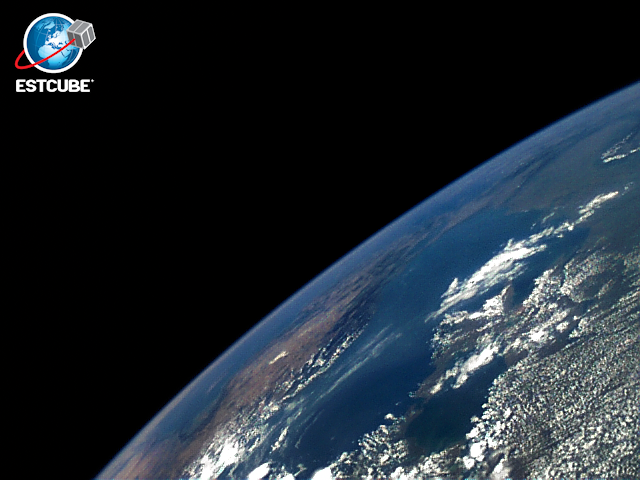
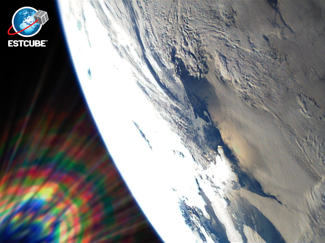
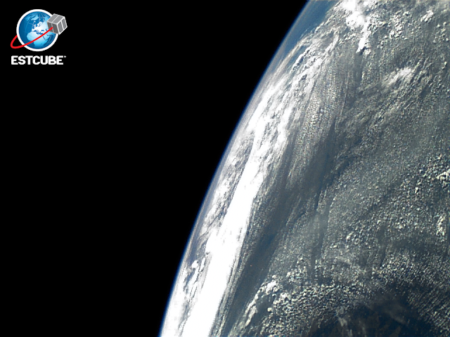
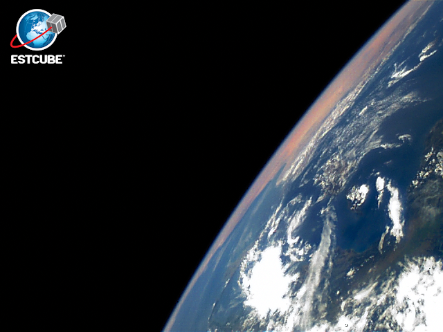
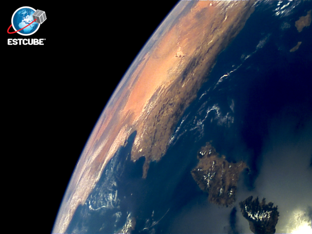
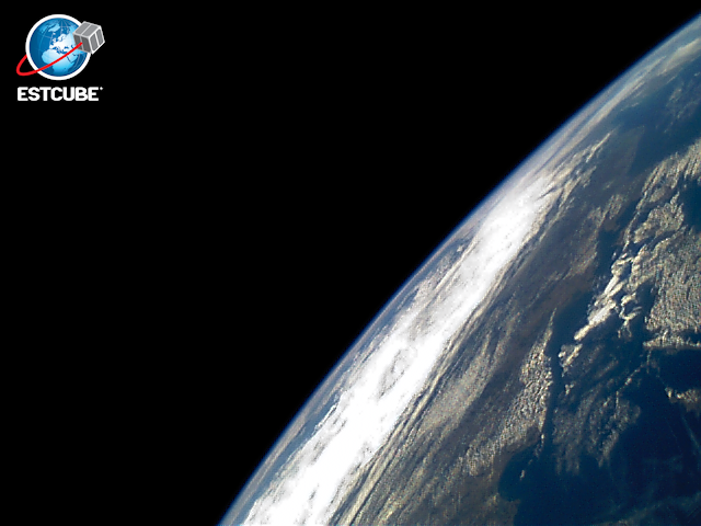
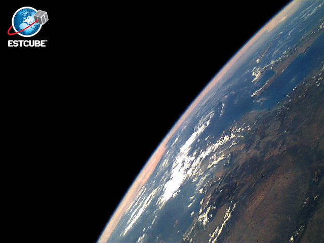
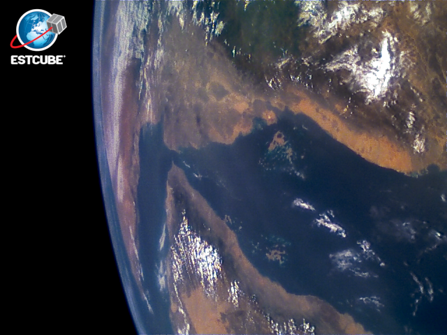
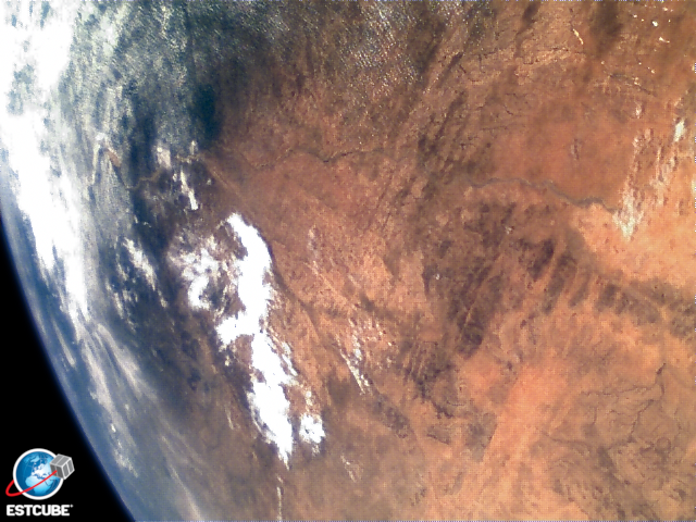
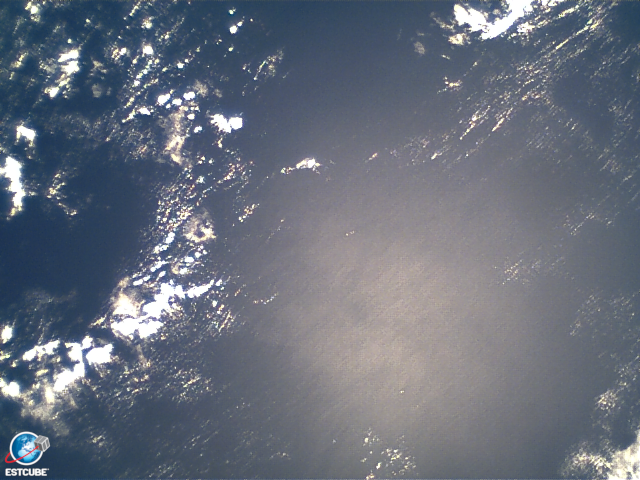
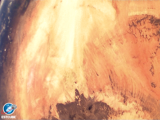
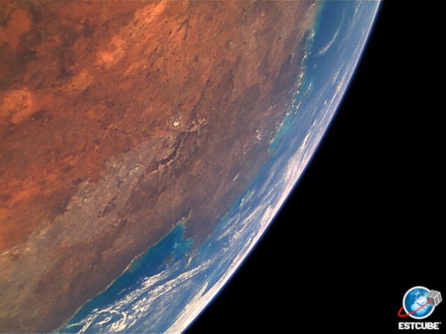
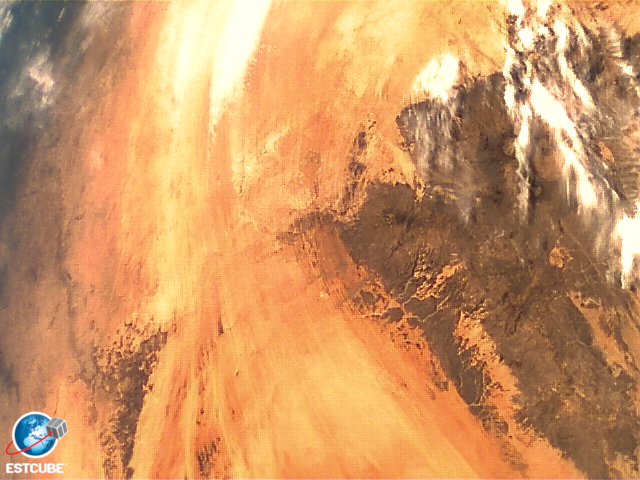
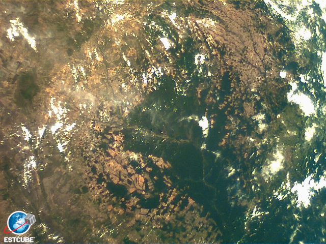
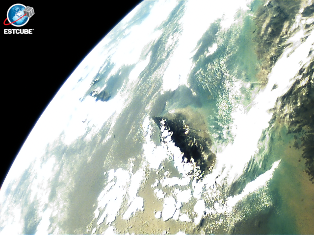
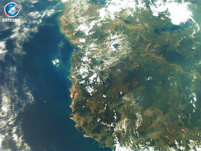
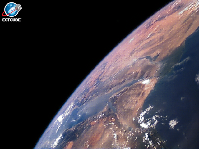
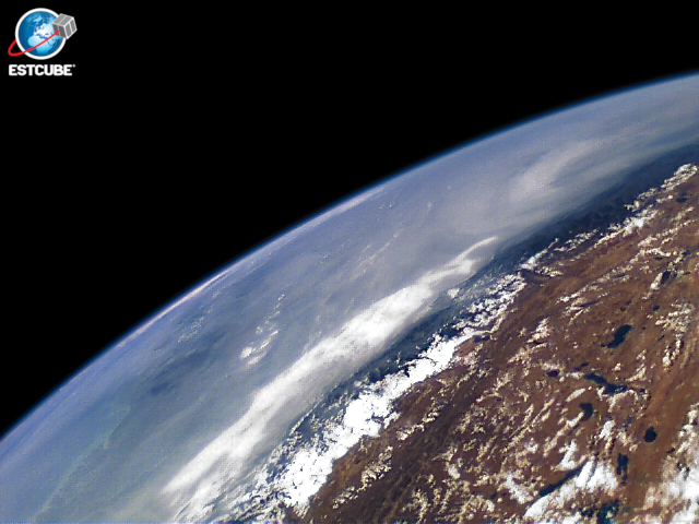
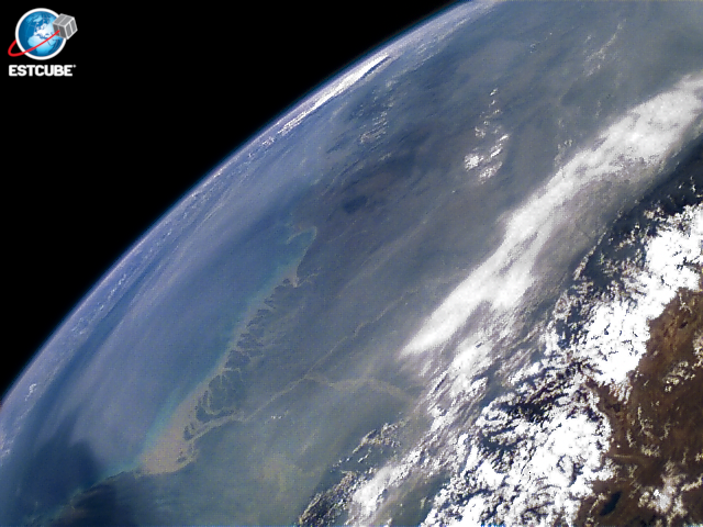
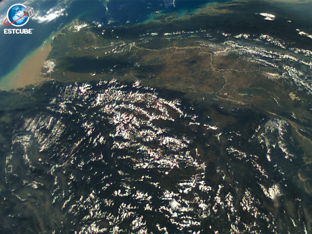
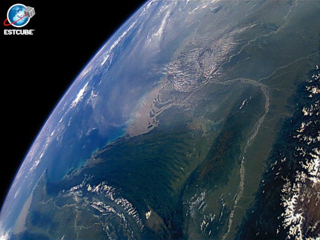
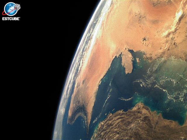
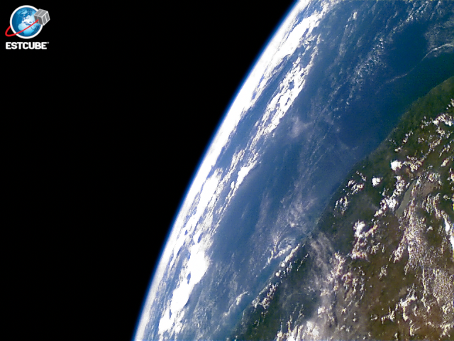
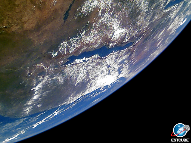
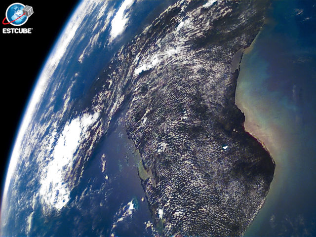
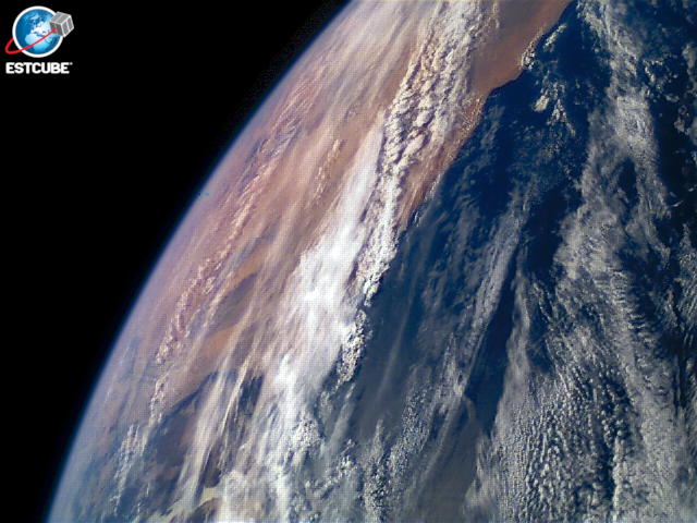
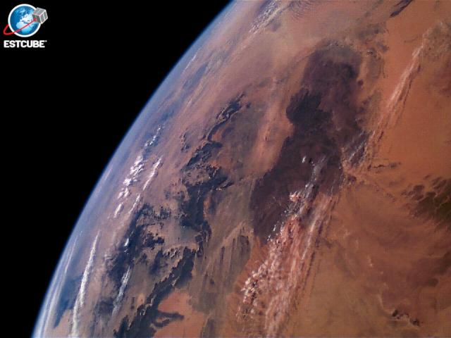
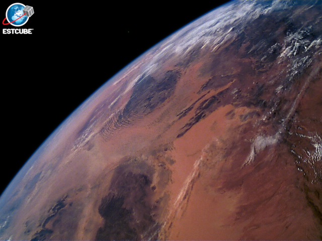
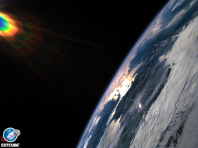
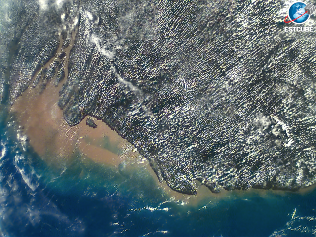
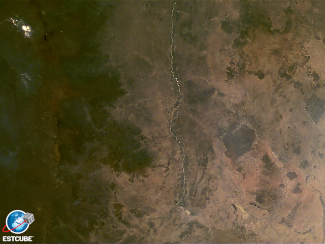
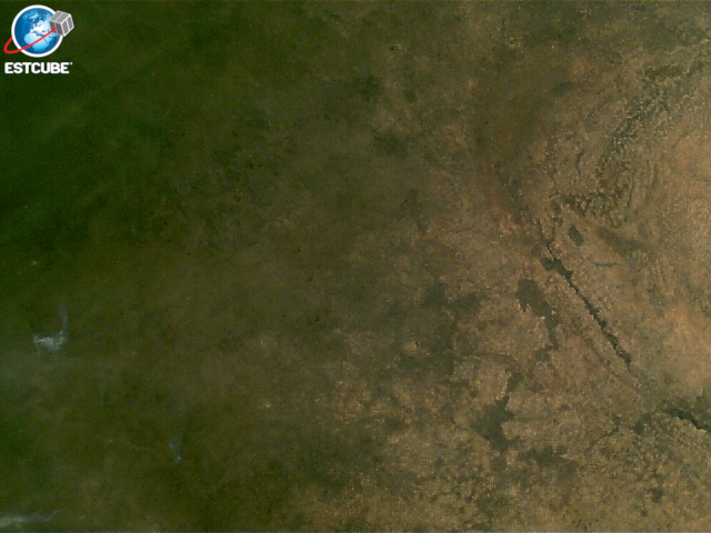
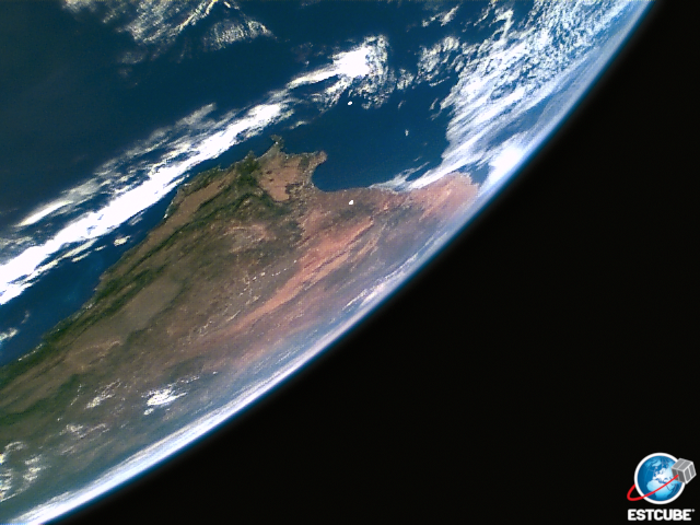
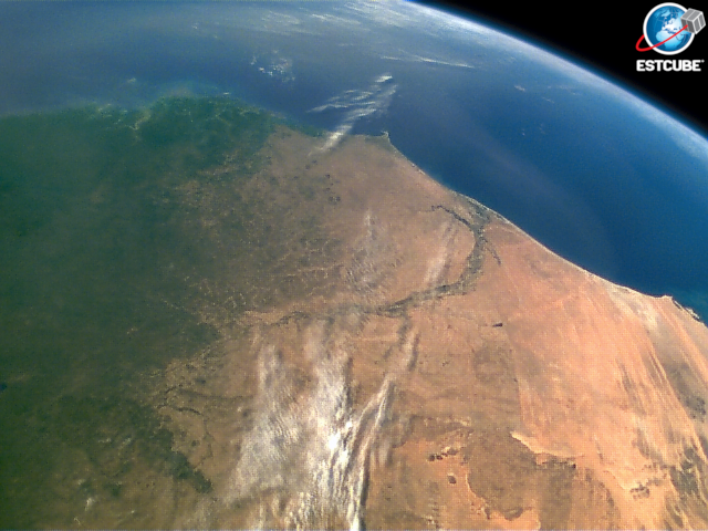
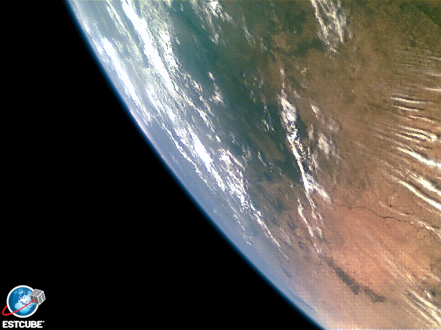
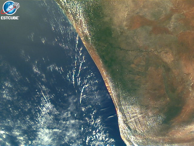
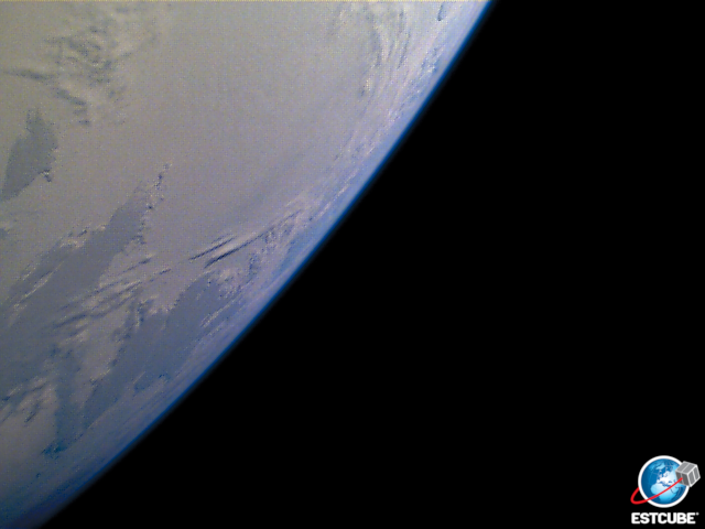
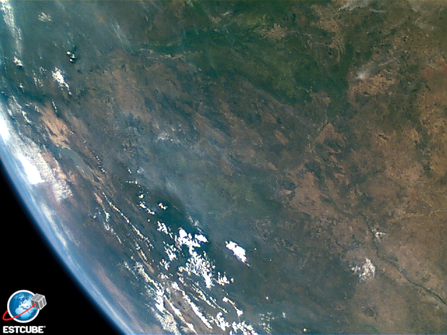
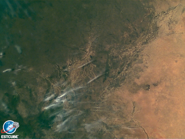
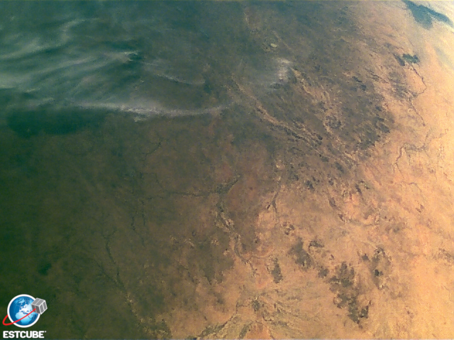
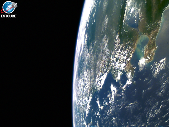
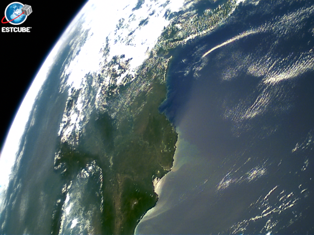
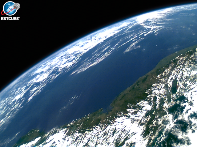
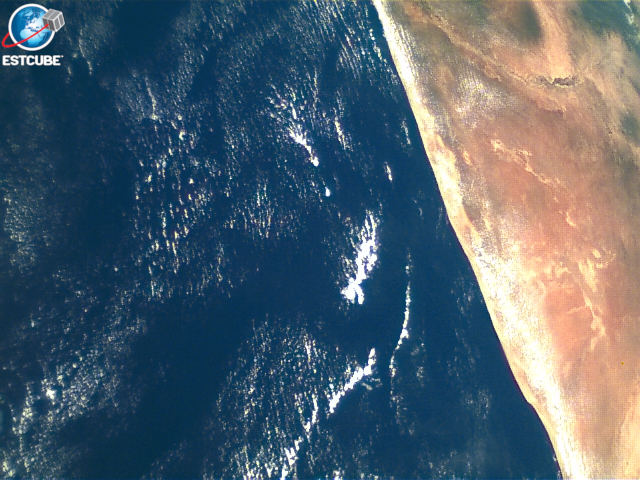
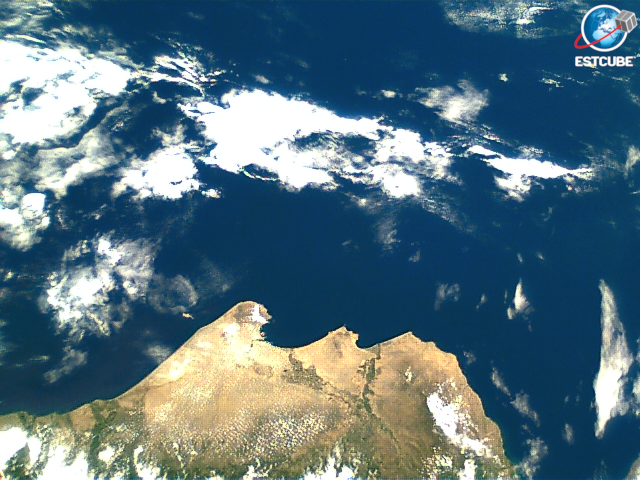
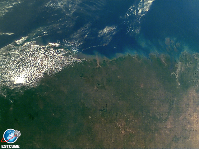
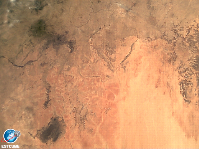
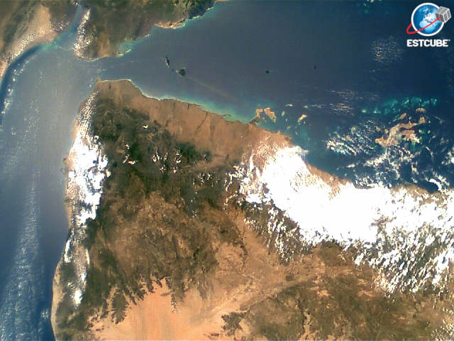
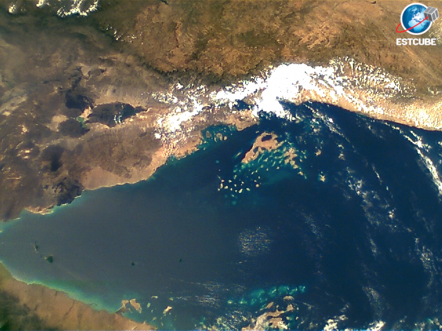
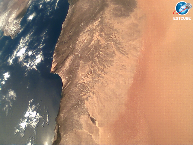
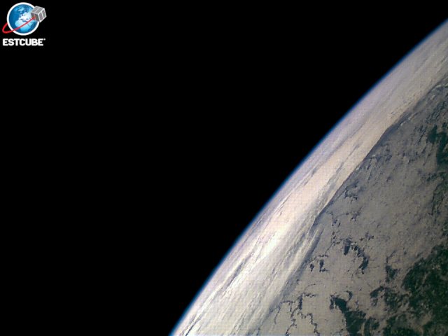
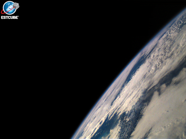
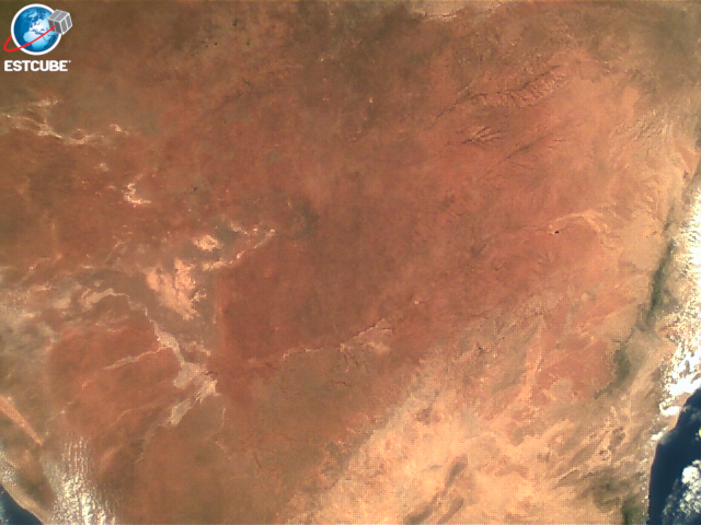
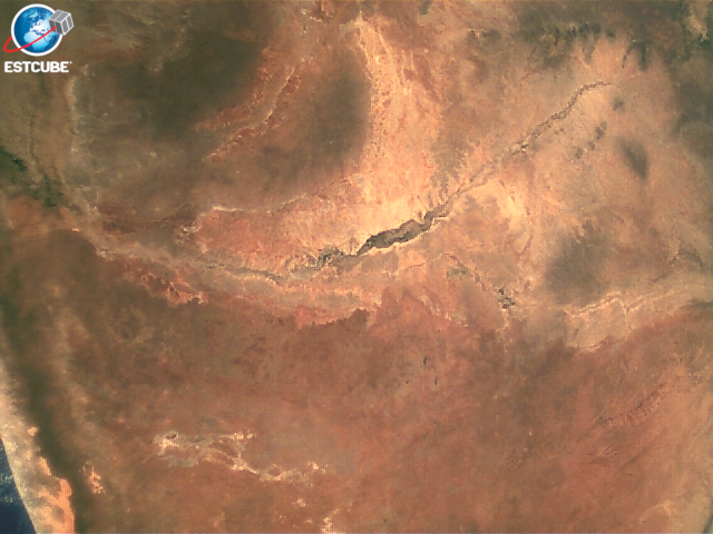
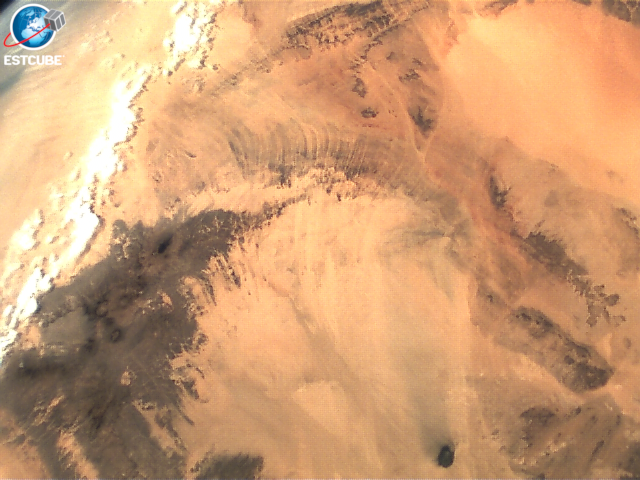
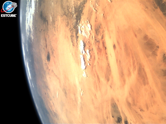
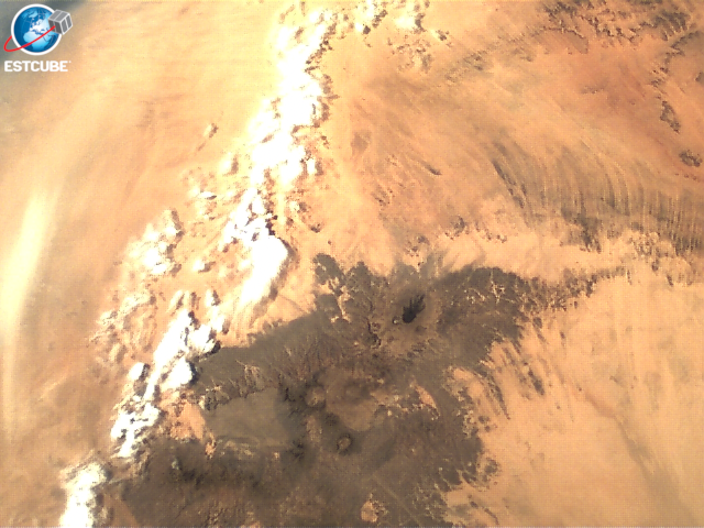
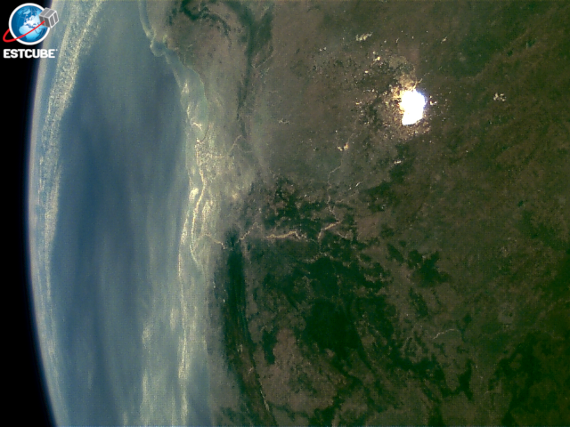
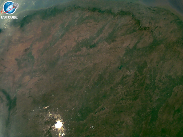
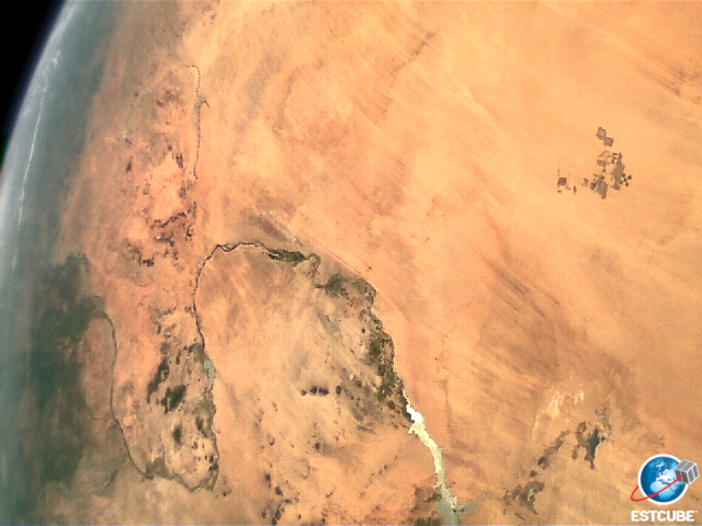
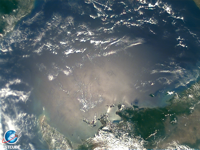
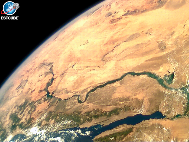
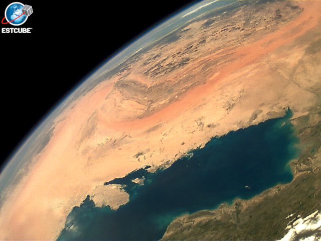
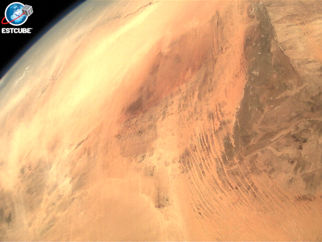
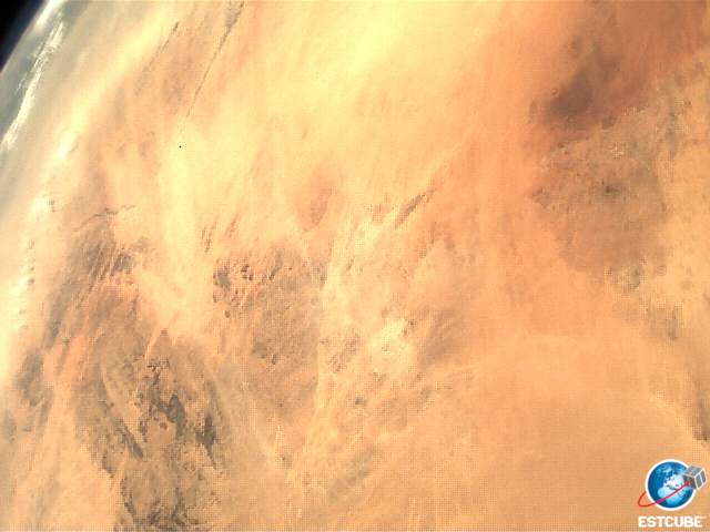
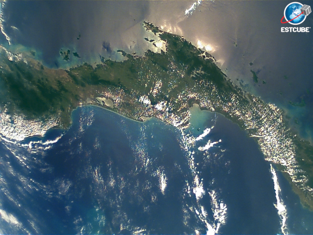
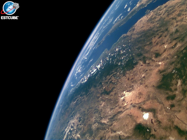
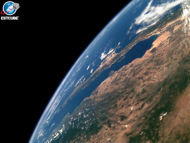
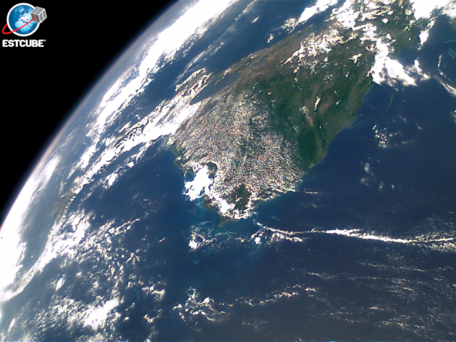
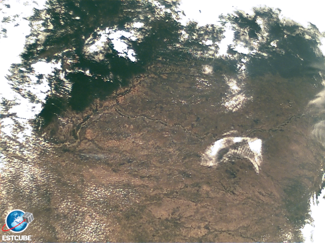
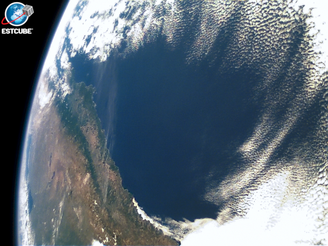
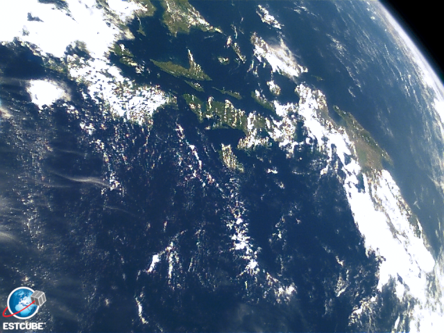
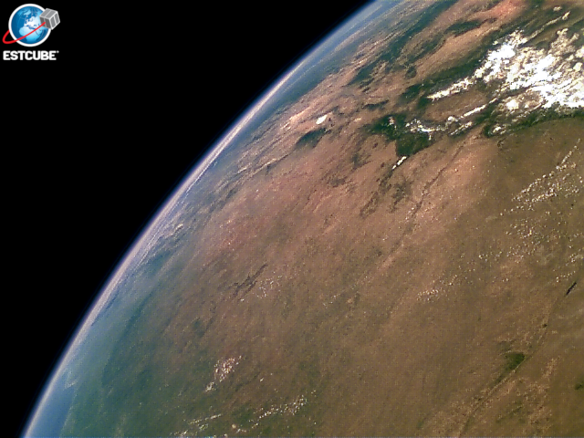
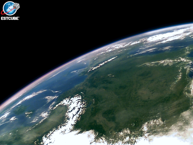
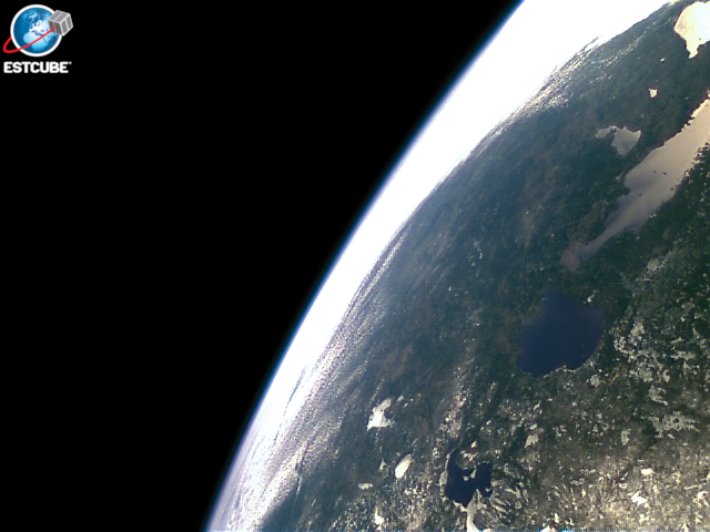
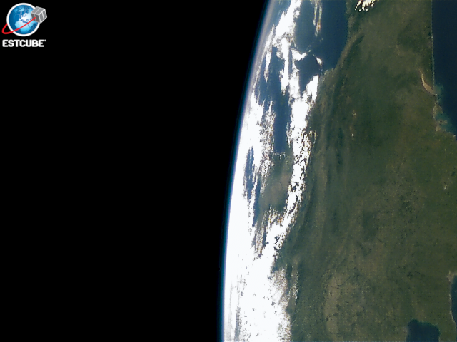
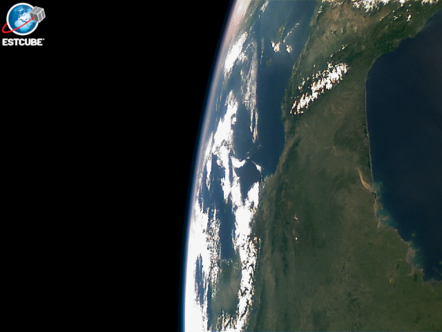
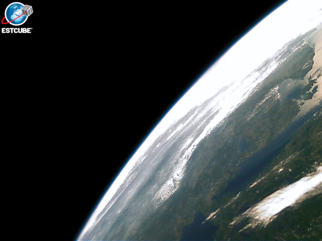
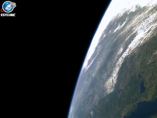
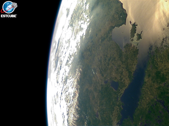
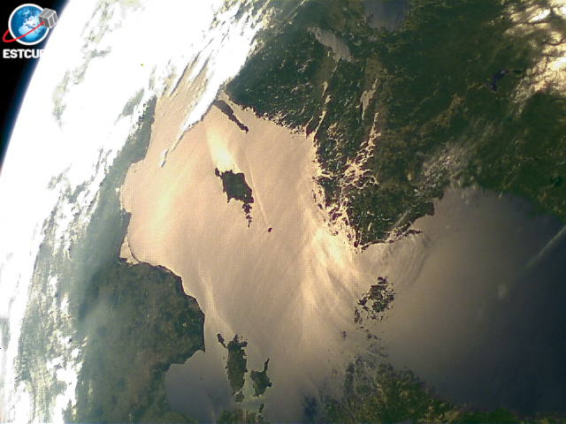
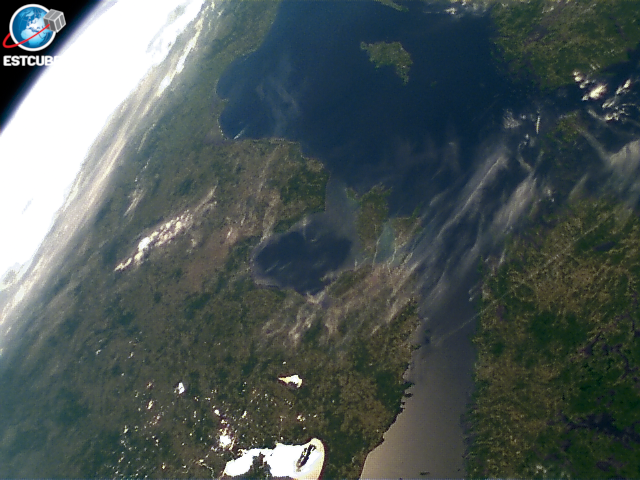
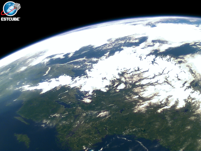
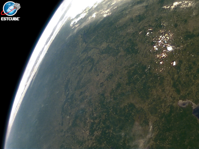
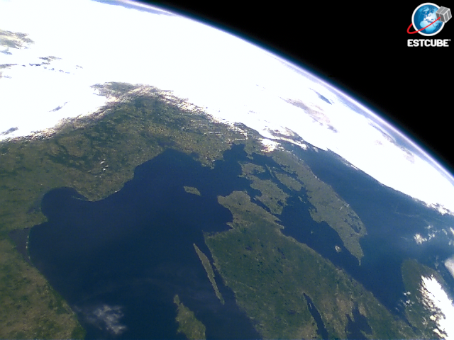
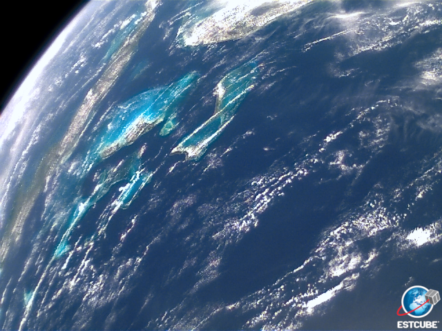
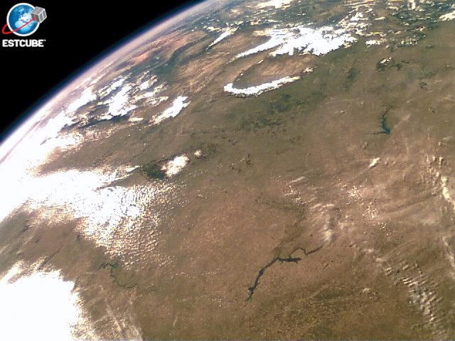
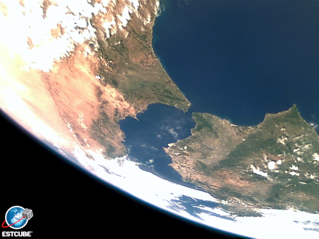
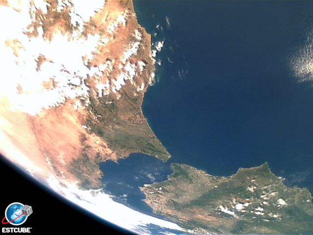
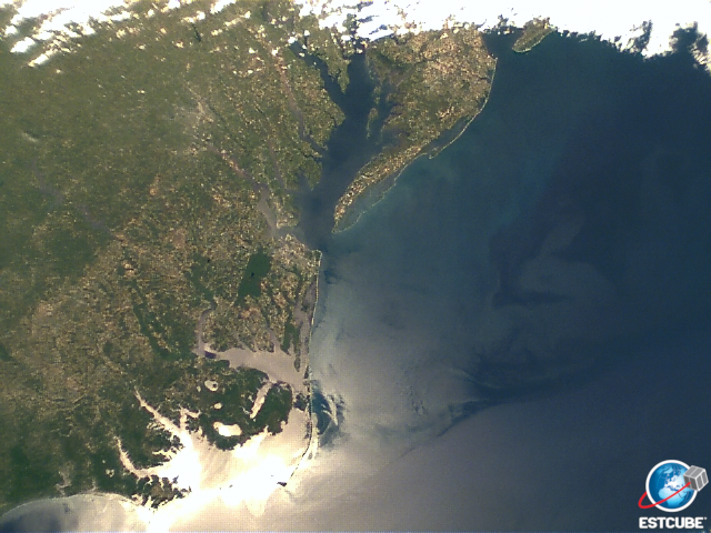
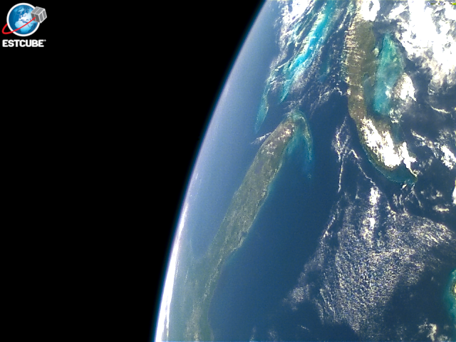
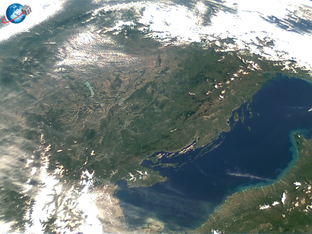
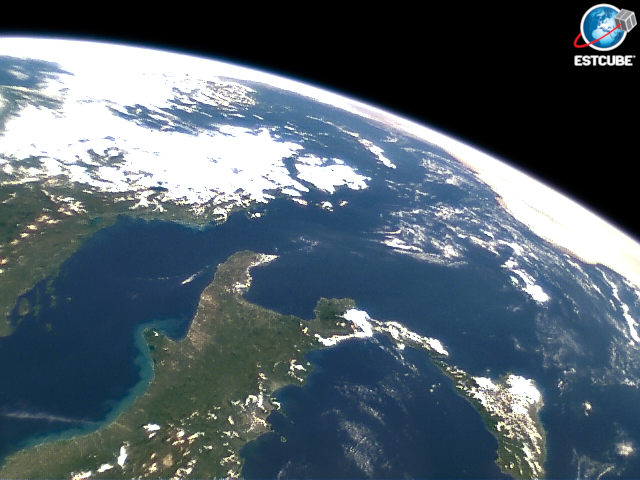
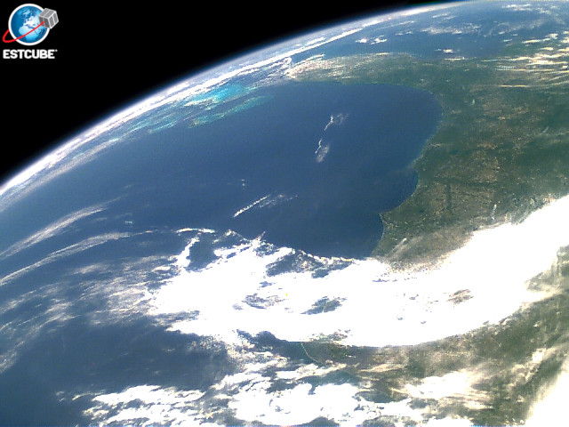
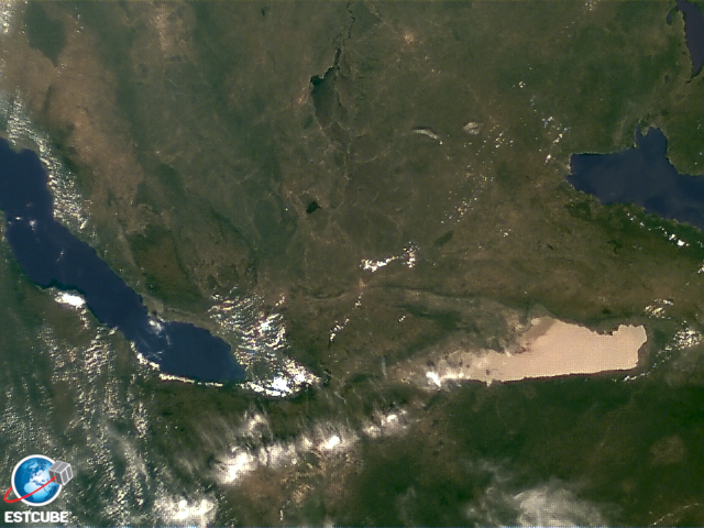
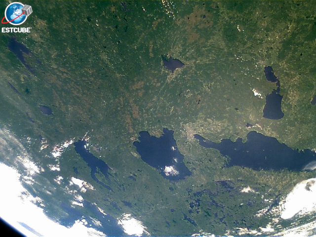
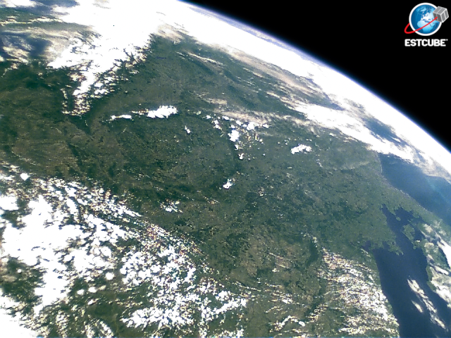
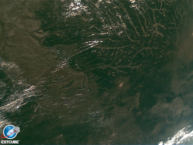
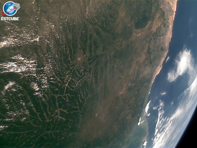
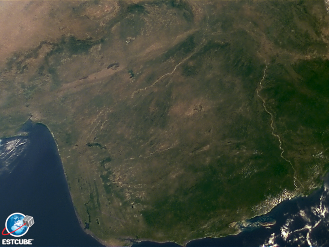
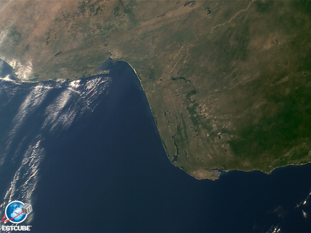
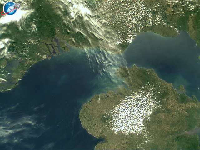
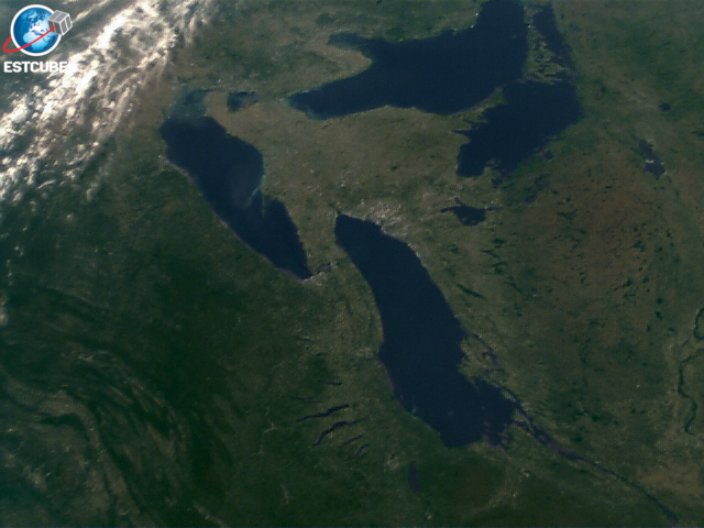
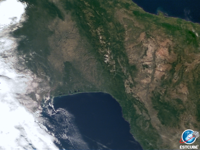
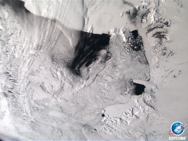
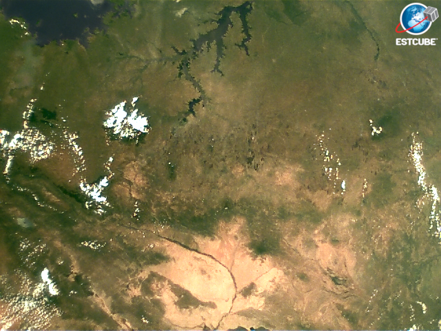
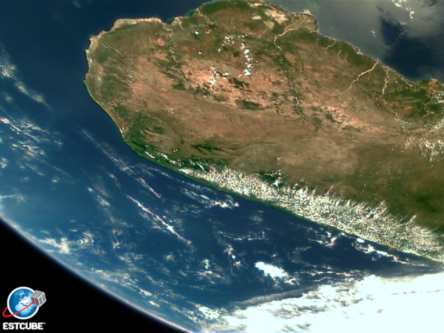
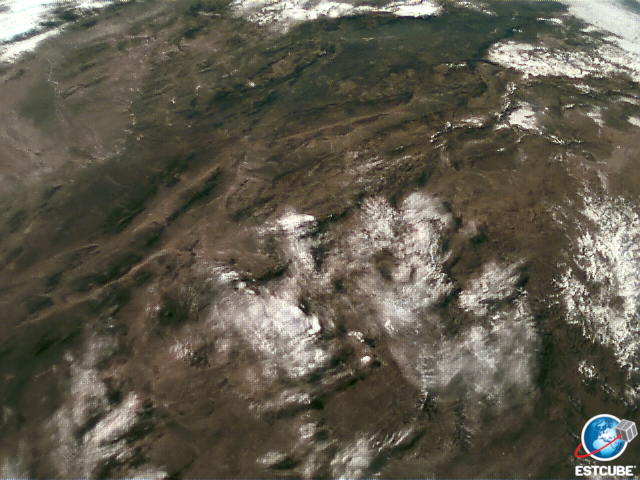
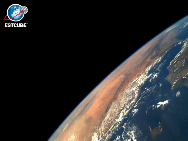
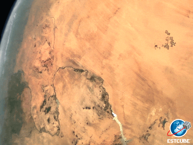
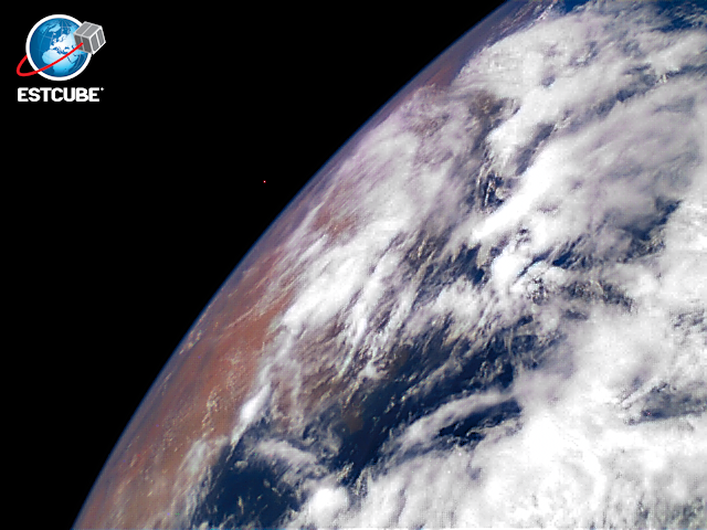
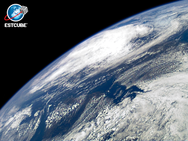
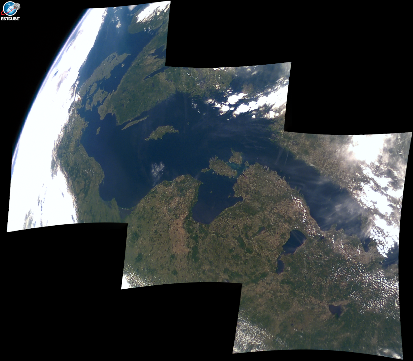
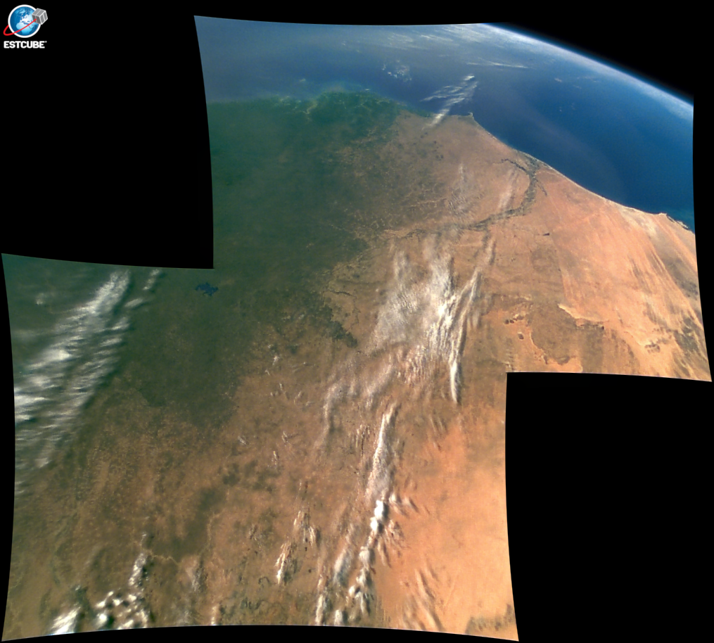
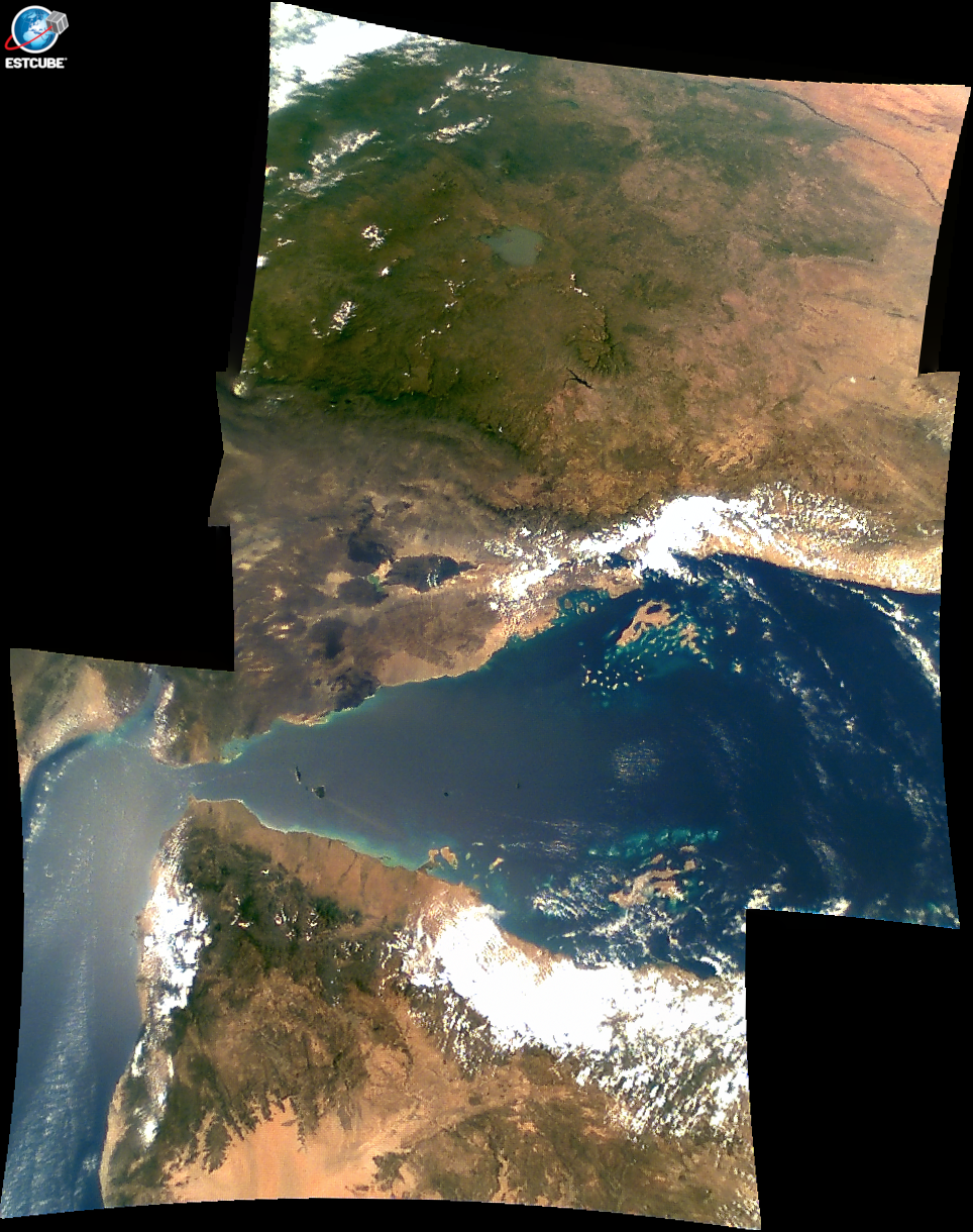
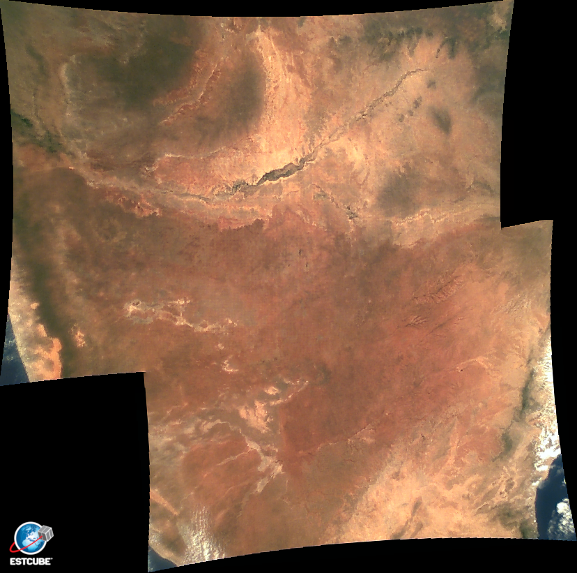
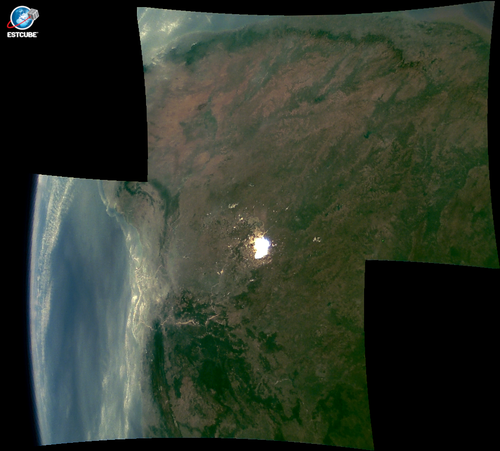
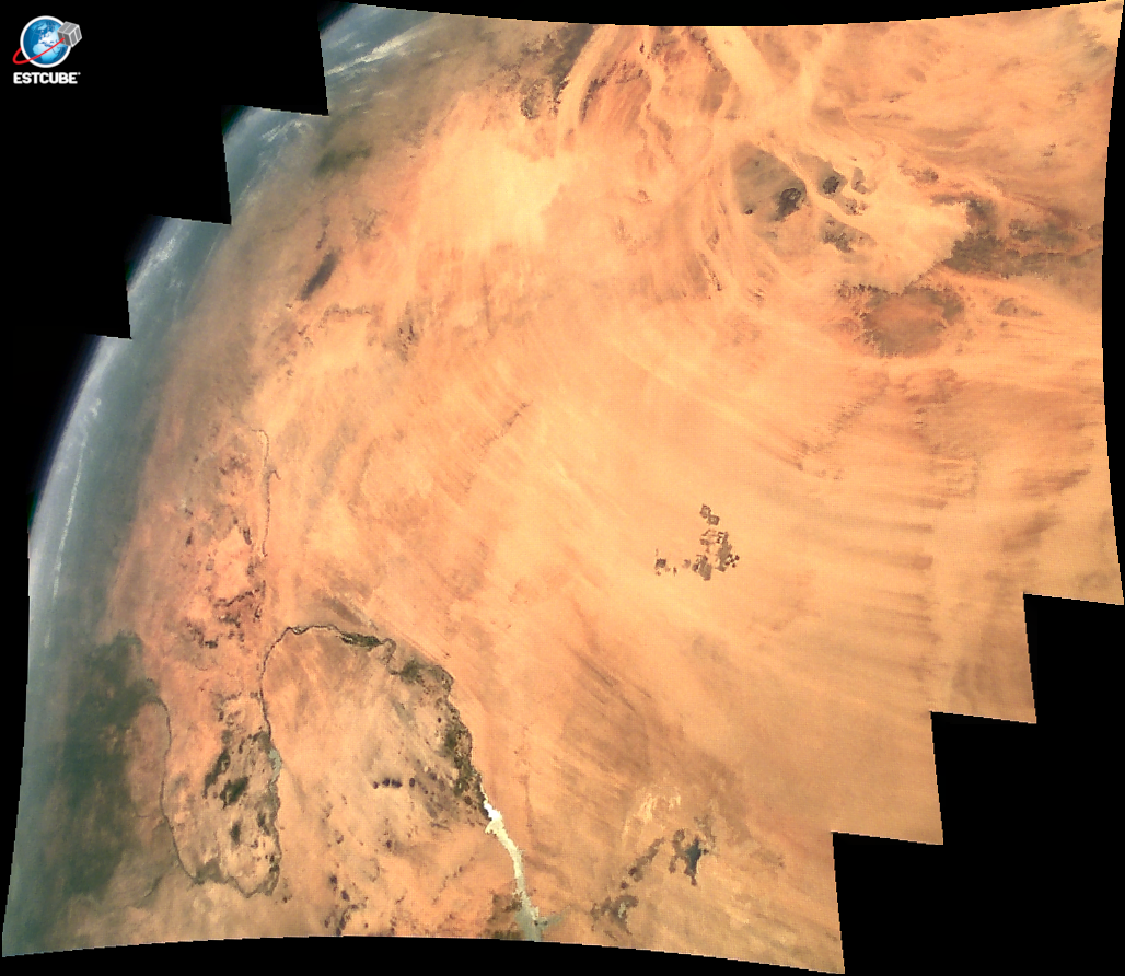
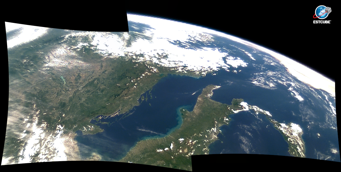
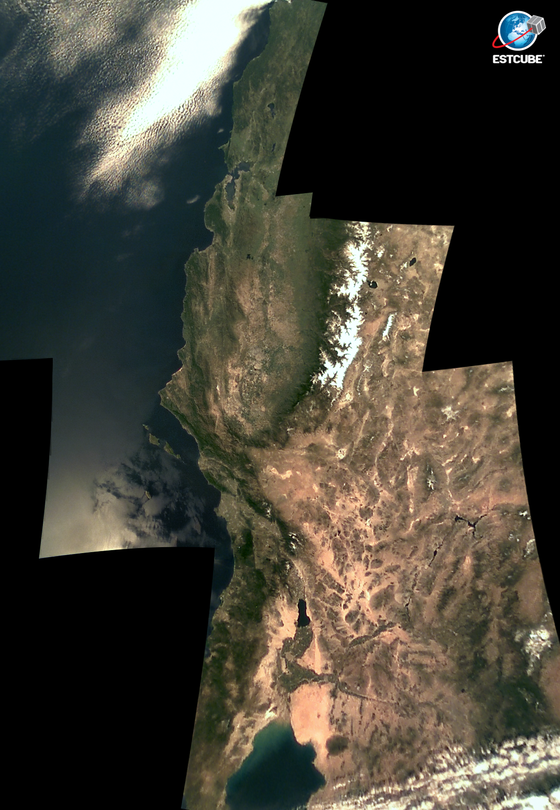
2013.08.12 13:49.23 & 2013.08.31 13:53:57
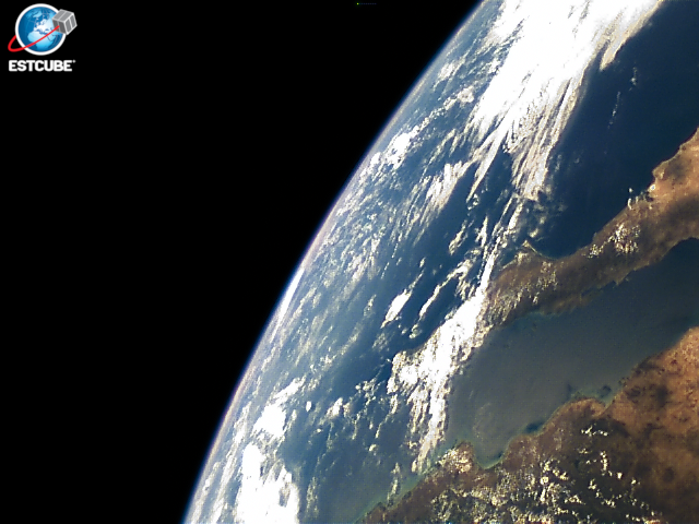
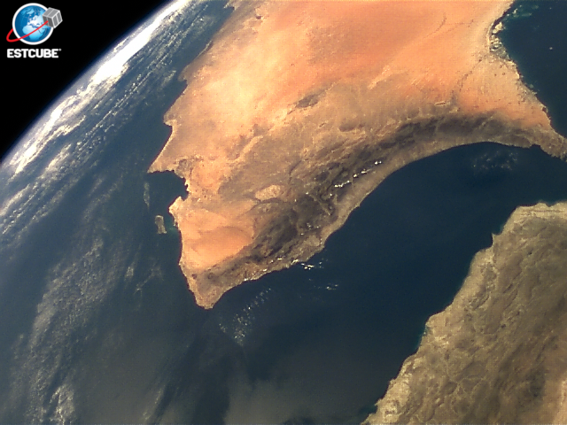
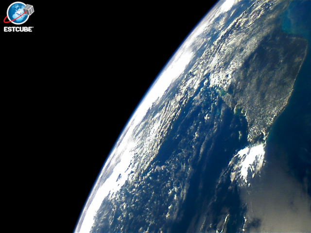
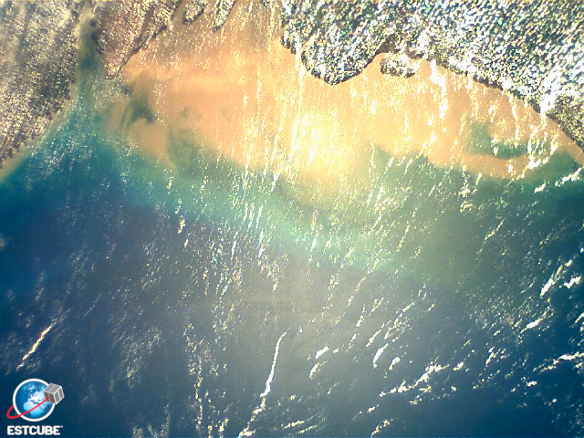
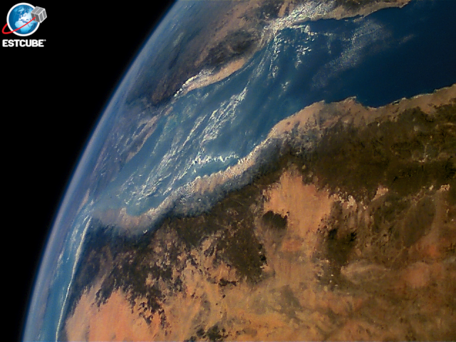
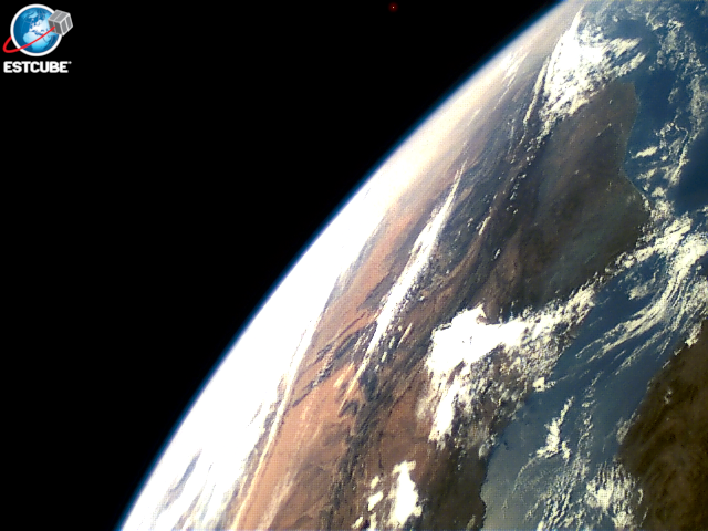
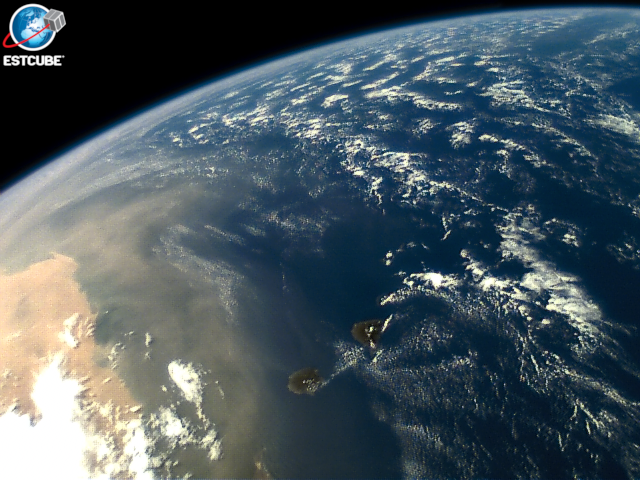
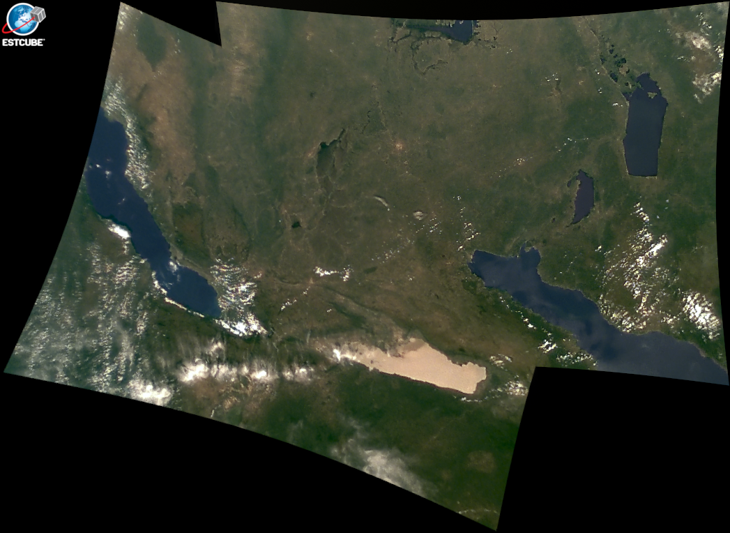
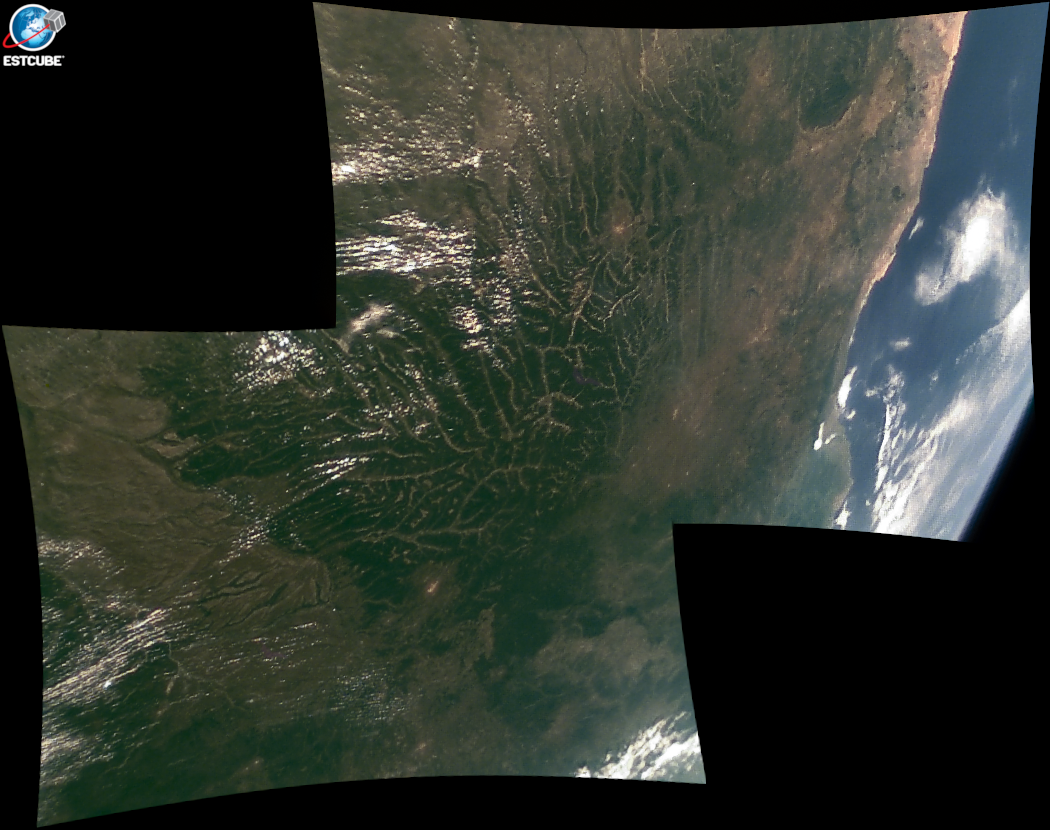
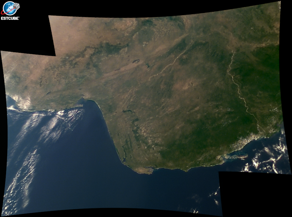
Mission was to develop the first satellite of Estonia and demonstrate technologies for the electric solar wind sail (E-sail).
Read more www.estcube.eu.
- 1U CubeSat or 1.05 kg nanosatellite.
- Launched on May 7th 2013.
- Operational for 2 years and 12 days.
- All subsystems completely self-developed.
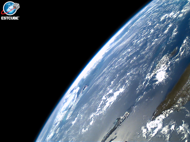
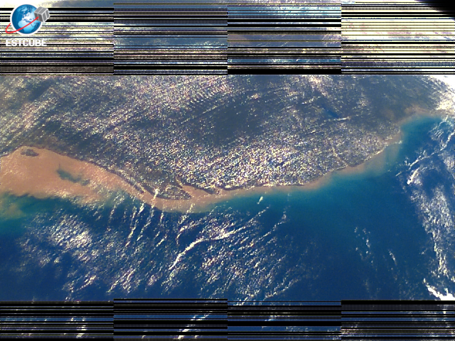
- Downlinking 1 image took most of a day.
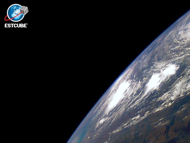
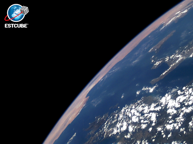
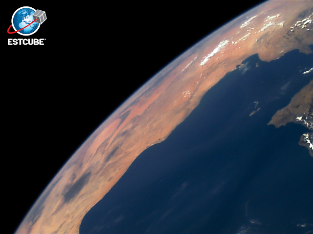
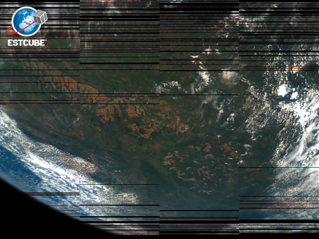
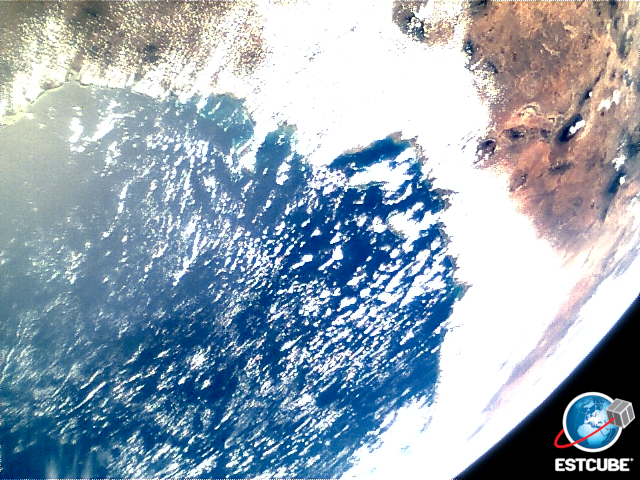
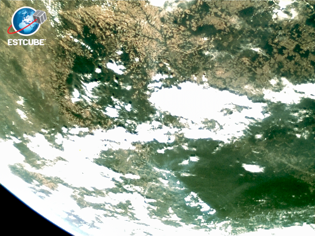
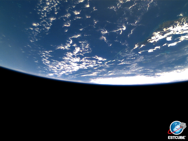
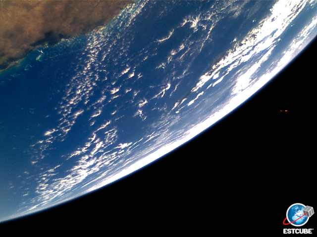
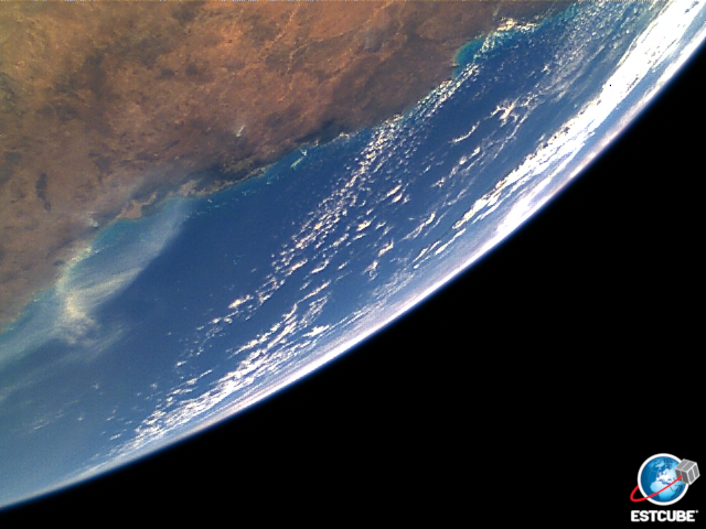
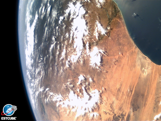
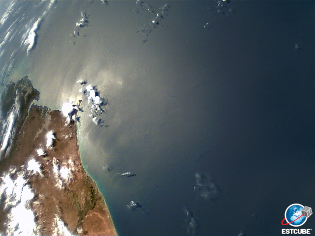
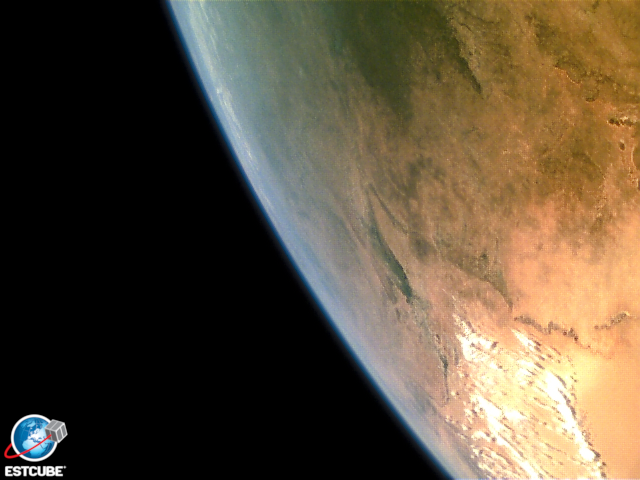
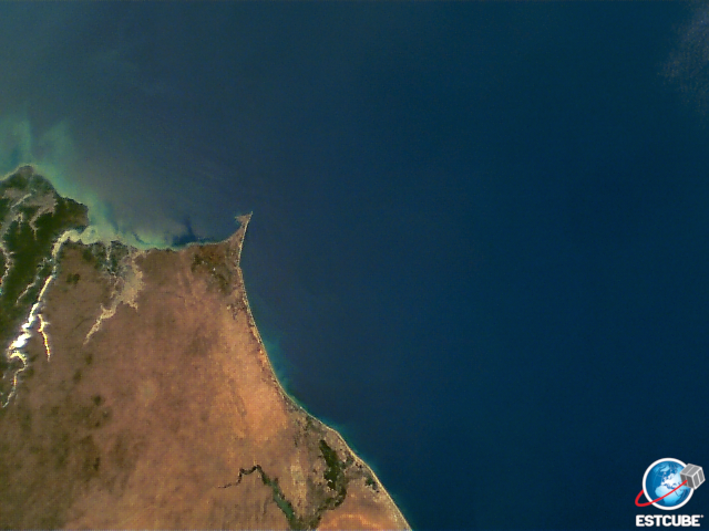
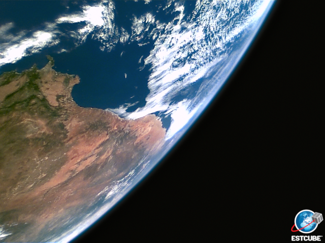
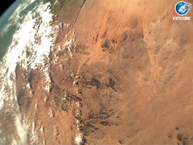
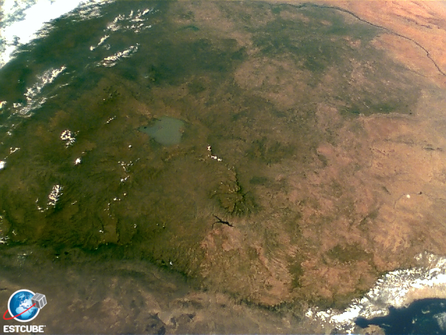
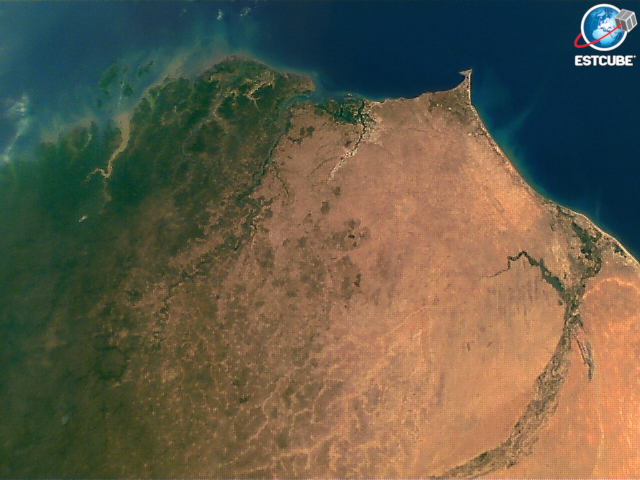
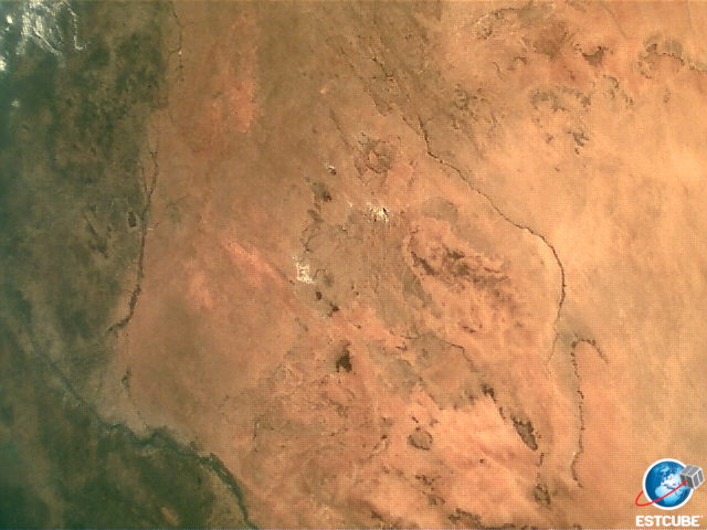
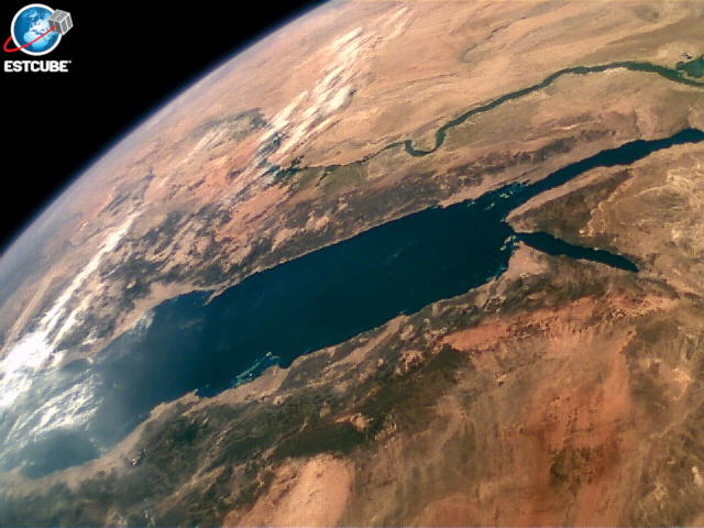
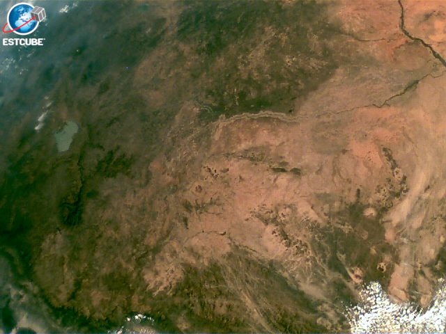
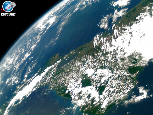
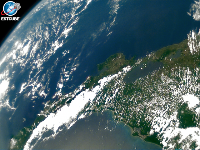
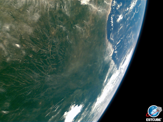
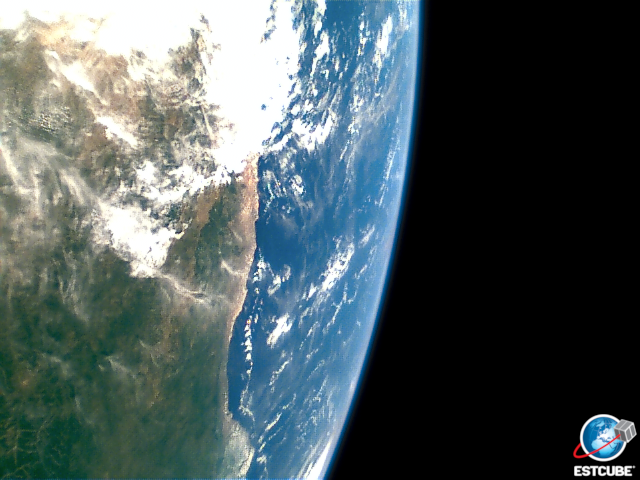
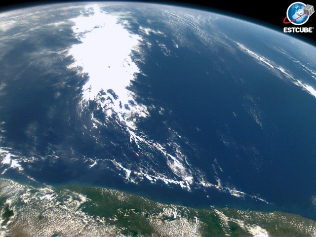
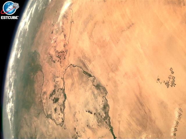
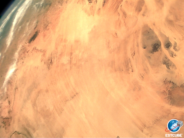
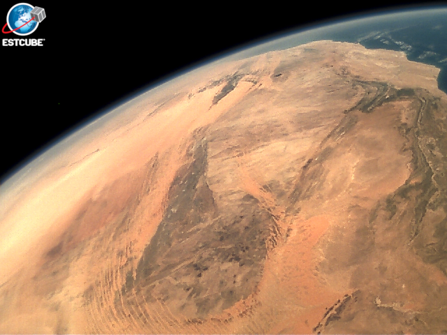
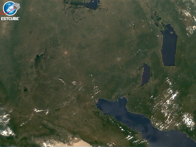
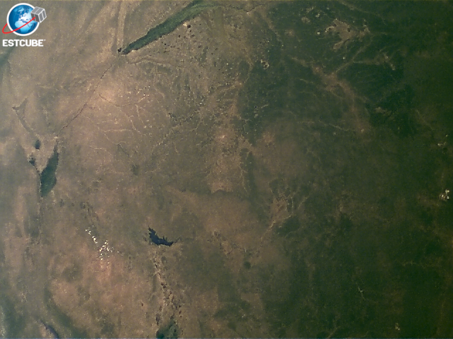
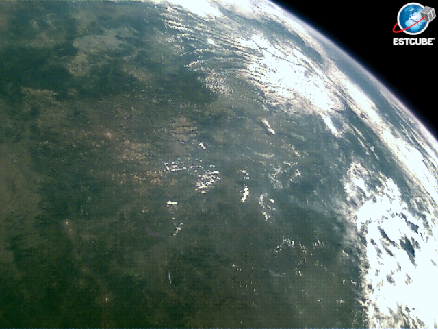
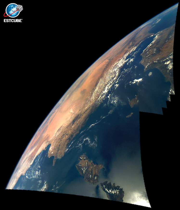
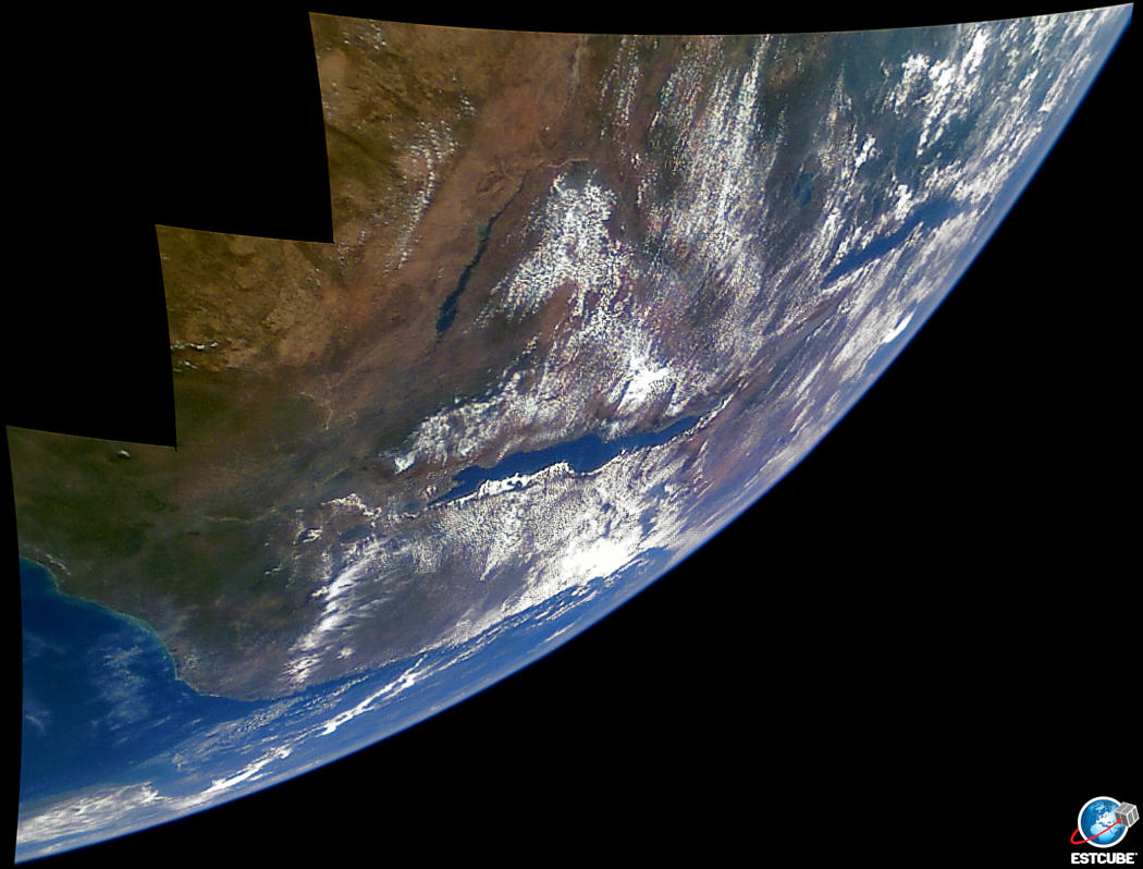
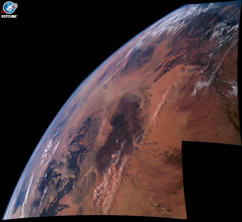
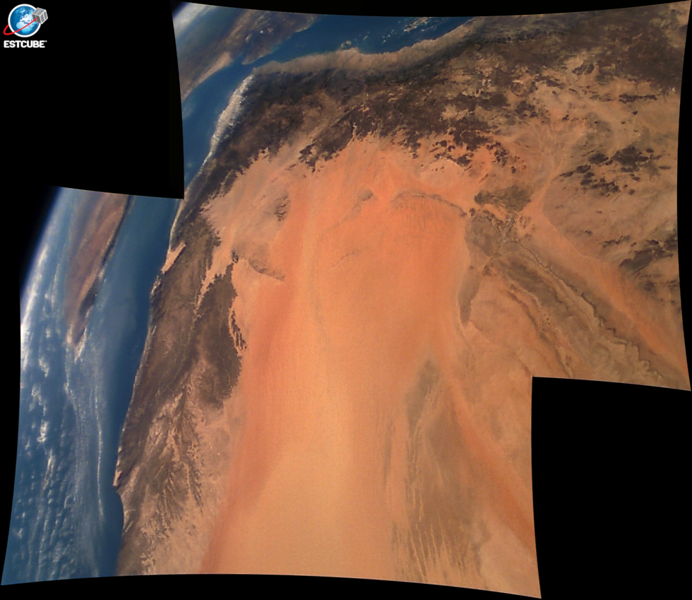
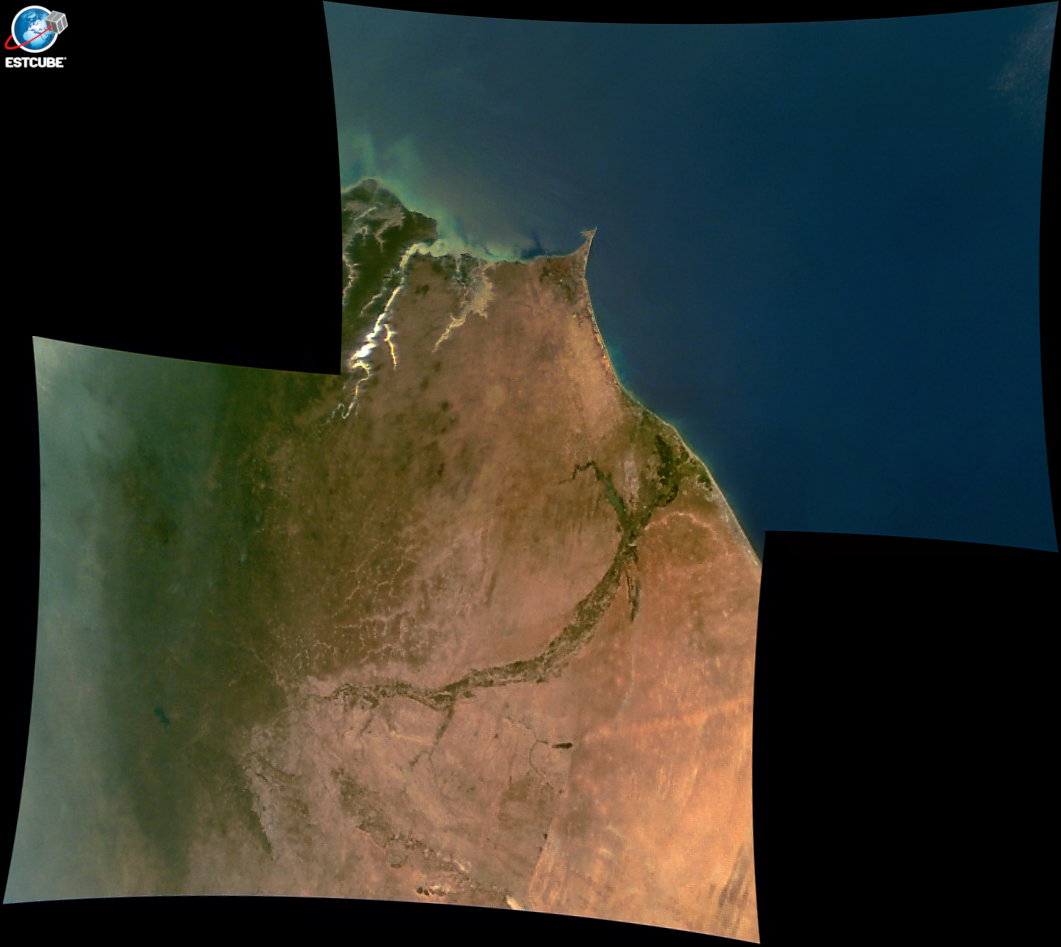
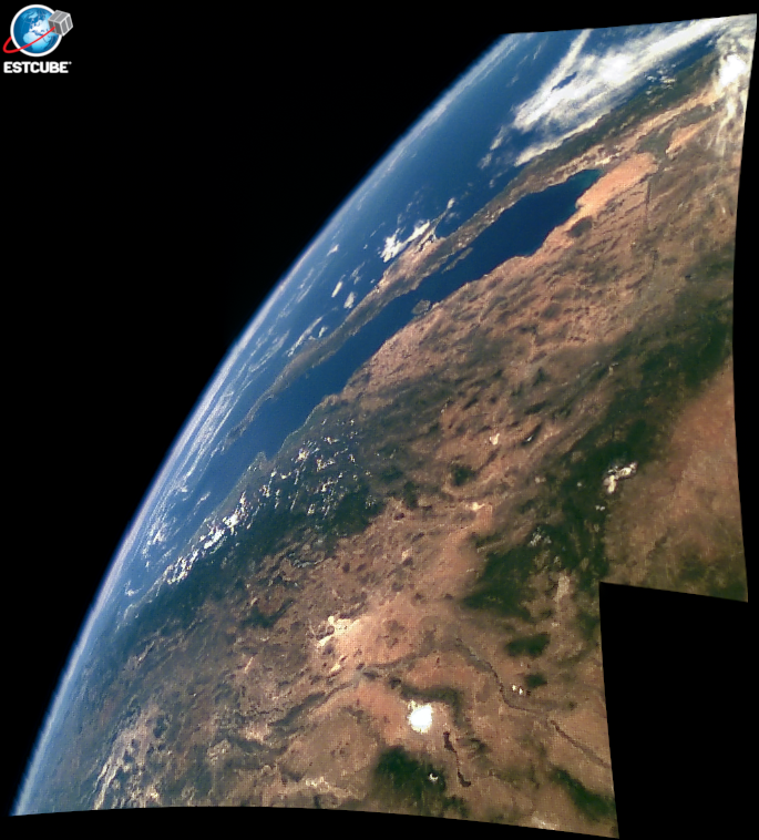
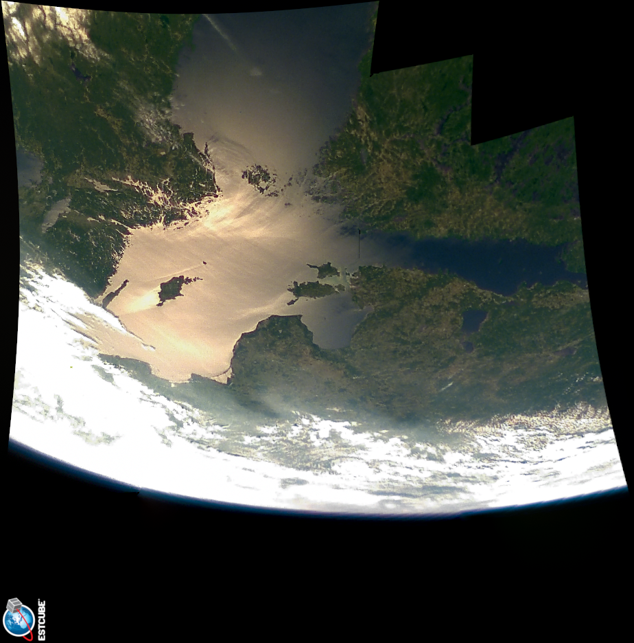
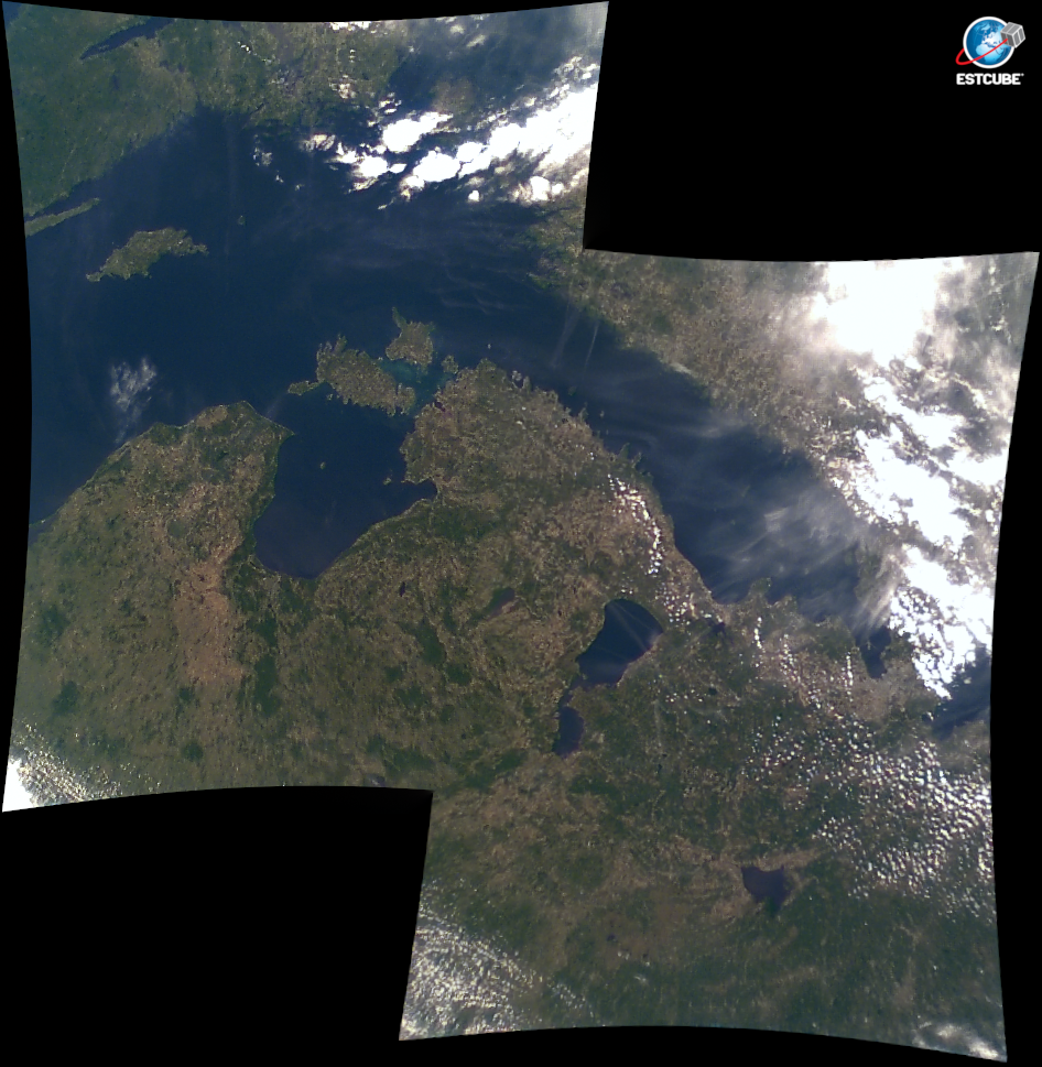
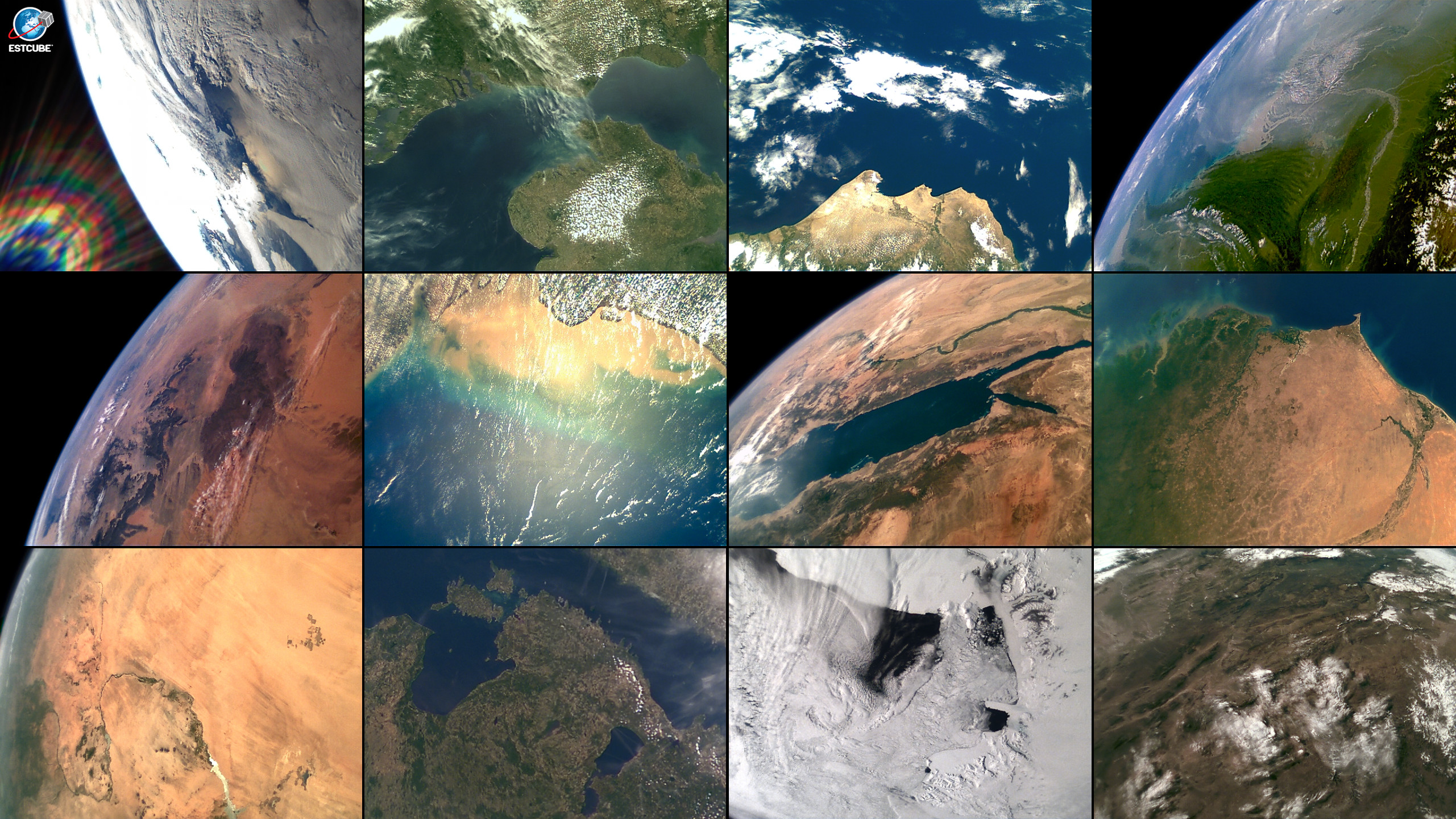
- Process of image taking: 1) power camera, 2) set filter to discard photos with no Earth, 3) set color balance and shutter speed depending on desert or ice or forest, 4) set timer to take images in the desired location, 5) check small sections of images, 6) download selected full images.